Data Series 482
|
|
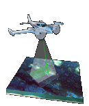
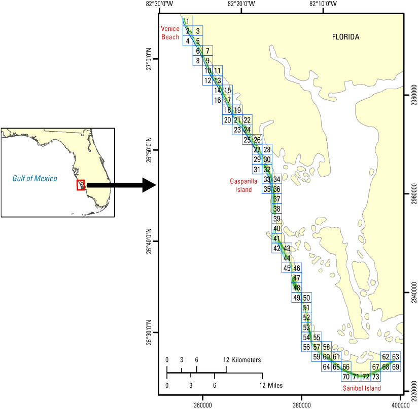
EAARL Coastal Topography–Western Florida, Post-Hurricane Charley, 2004: Seamless (Bare Earth and Submerged)Amar Nayegandhi,1 Jamie M. Bonisteel,1 C. Wayne Wright,2 A.H. Sallenger,2 John C. Brock,3 and Xan Yates1 1Jacobs Technology Inc., St. Petersburg, FL; 2U.S. Geological Survey, Coastal and Marine Geology Program, St. Petersburg, FL; 3U.S. Geological Survey, Coastal and Marine Geology Program, Reston, VA This DVD contains lidar-derived seamless (bare-earth and submerged) topography GIS datasets of a portion of the western Florida coastline beachface, acquired post-Hurricane Charley on August 17 and 18, 2004. Click on a tile number (1 - 73) to view the corresponding 1-meter-resolution images and links to each data directory. Click on the red tile in the index map to view the 3-meter-resolution mosaic and link to the corresponding directory.
Suggested Citation: Nayegandhi, Amar, Bonisteel, J.M., Wright, C.W., Sallenger, A.H., Brock, J.C., and Yates, Xan, 2009, EAARL coastal topography–western Florida, post-Hurricane Charley, 2004: seamless (bare earth and submerged): U.S. Geological Survey Data Series 482, 1 DVD. Publications are available from USGS Information Services, Box 25286, Federal Center, Denver, CO 80225-0046 (telephone: 1-888-ASK-USGS; email: infoservices@usgs.gov). |

![]() U.S. Department of the
Interior | U.S. Geological Survey
U.S. Department of the
Interior | U.S. Geological Survey
URL: https://pubsdata.usgs.gov/pubs/ds/482/index.html
Page Contact Information: Feedback
Maintained by: Publishing Service Center
Page Last Modified: Monday, 28-Nov-2016 15:05:39 EST