U.S. Geological Survey Data Series 521
ABSTRACT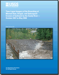
In 2007, Marmot Dam on the Sandy River, Oregon, was removed and a temporary cofferdam standing in its place was breached, allowing the river to flow freely along its entire length. Time-lapse imagery obtained from a network of digital single-lens reflex cameras placed around the lower reach of the sediment-filled reservoir behind the dam details rapid erosion of sediment by the Sandy River after breaching of the cofferdam. Within hours of the breaching, the Sandy River eroded much of the nearly 15-m-thick frontal part of the sediment wedge impounded behind the former concrete dam; within 24-60 hours it eroded approximately 125,000 m3 of sediment impounded in the lower 300-meter-reach of the reservoir. The imagery shows that the sediment eroded initially through vertical incision, but that lateral erosion rapidly became an important process. |
For additional information: Part of this report is presented in Portable Document Format (PDF); the latest version of Adobe Reader or similar software is required to view it. Download the latest version of Adobe Reader, free of charge. |
Major, Jon J., Spicer, Kurt R., and Collins, Rebecca A., 2010, Time-lapse imagery of the breaching of Marmot Dam, Oregon, and subsequent erosion of sediment by the Sandy River, October 2007 to May 2008: U.S. Geological Survey Data Series 521, 5 p. and movies
Abstract
Introduction
Cameras and Camera Network
Time-Lapse Movies
References Cited
10 movies

![]() U.S. Department of the Interior |
U.S. Geological Survey
U.S. Department of the Interior |
U.S. Geological Survey
URL: http://
pubsdata.usgs.gov
/pubs/ds/521/index.html
Page Contact Information: USGS Publications Team
Page Last Modified: Monday, 28-Nov-2016 15:44:13 EST
