Data Series 559
|
|
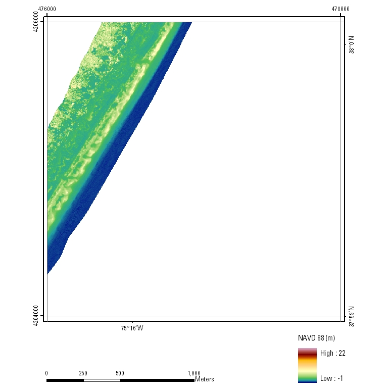
EAARL Coastal Topography and Imagery–Assateague Island National Seashore, Maryland and Virginia, Post-Nor'Ida, 2009UTM Tile e476_n4206_18First-Surface Topography: 2.5-meter resolution
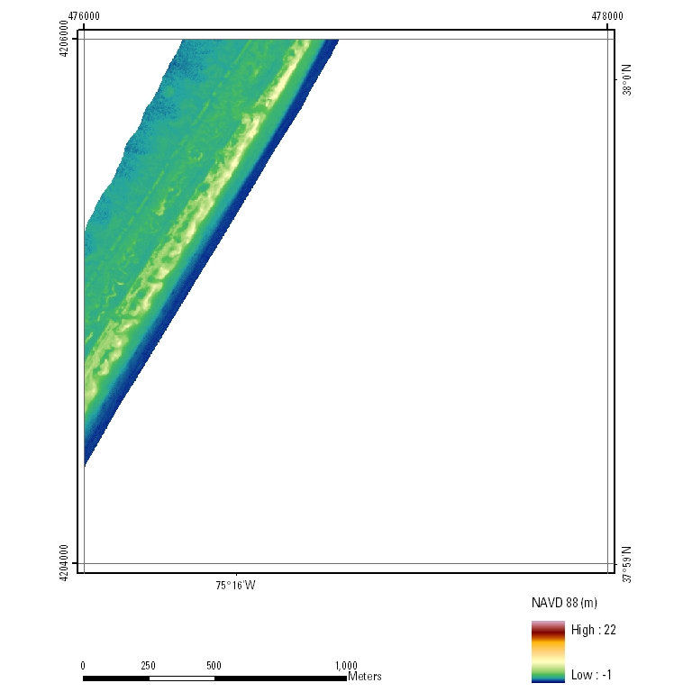
Bare-Earth Topography: 2.5-meter resolution
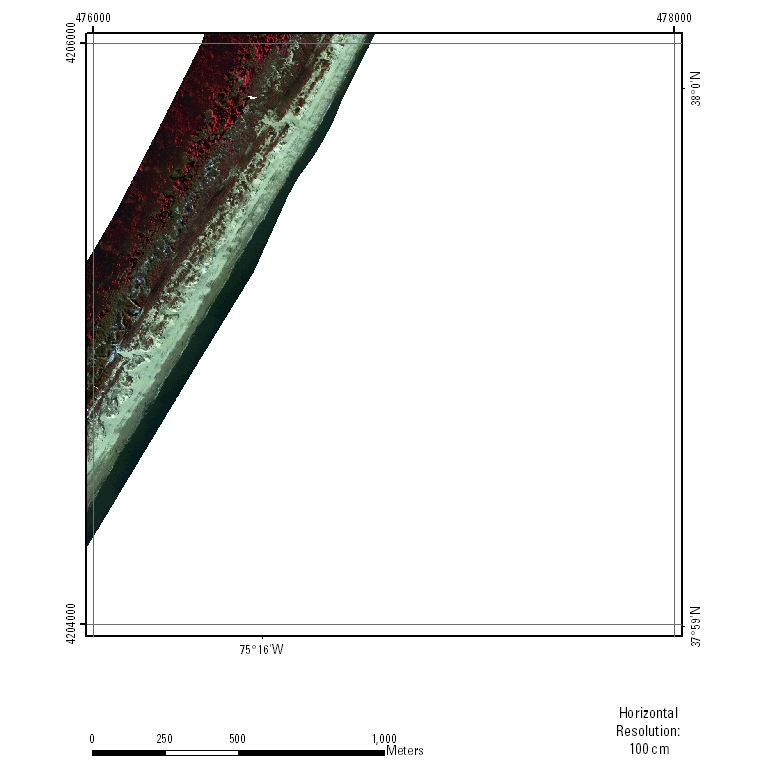
Color-Infrared Imagery
|

![]() U.S. Department of the
Interior | U.S. Geological Survey
U.S. Department of the
Interior | U.S. Geological Survey
URL: pubsdata.usgs.gov/pubs/ds/559/html/tile_htmls/e476_n4206_18.html
Page Contact Information: Feedback
Page Last Modified: Monday, 28-Nov-2016 16:10:50 EST