U.S. Geological Survey Data Series 563
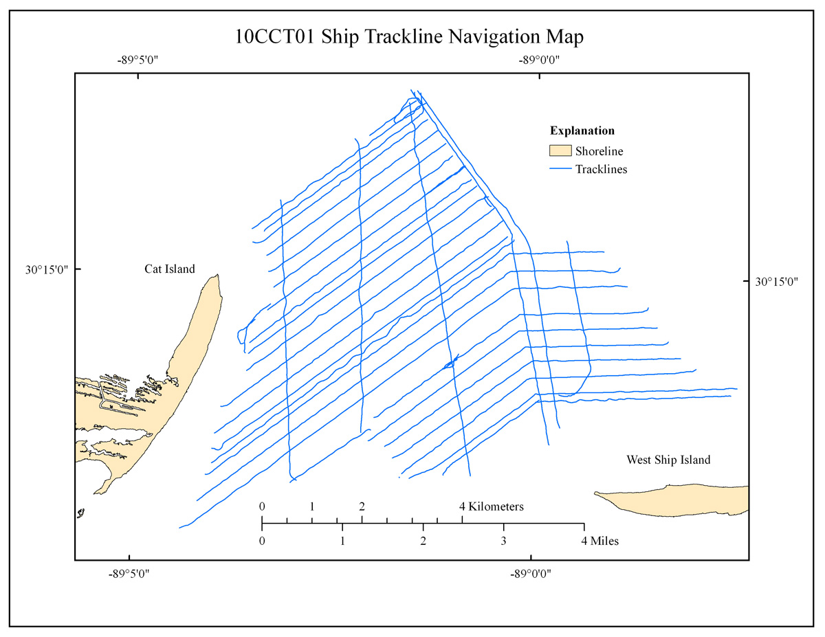
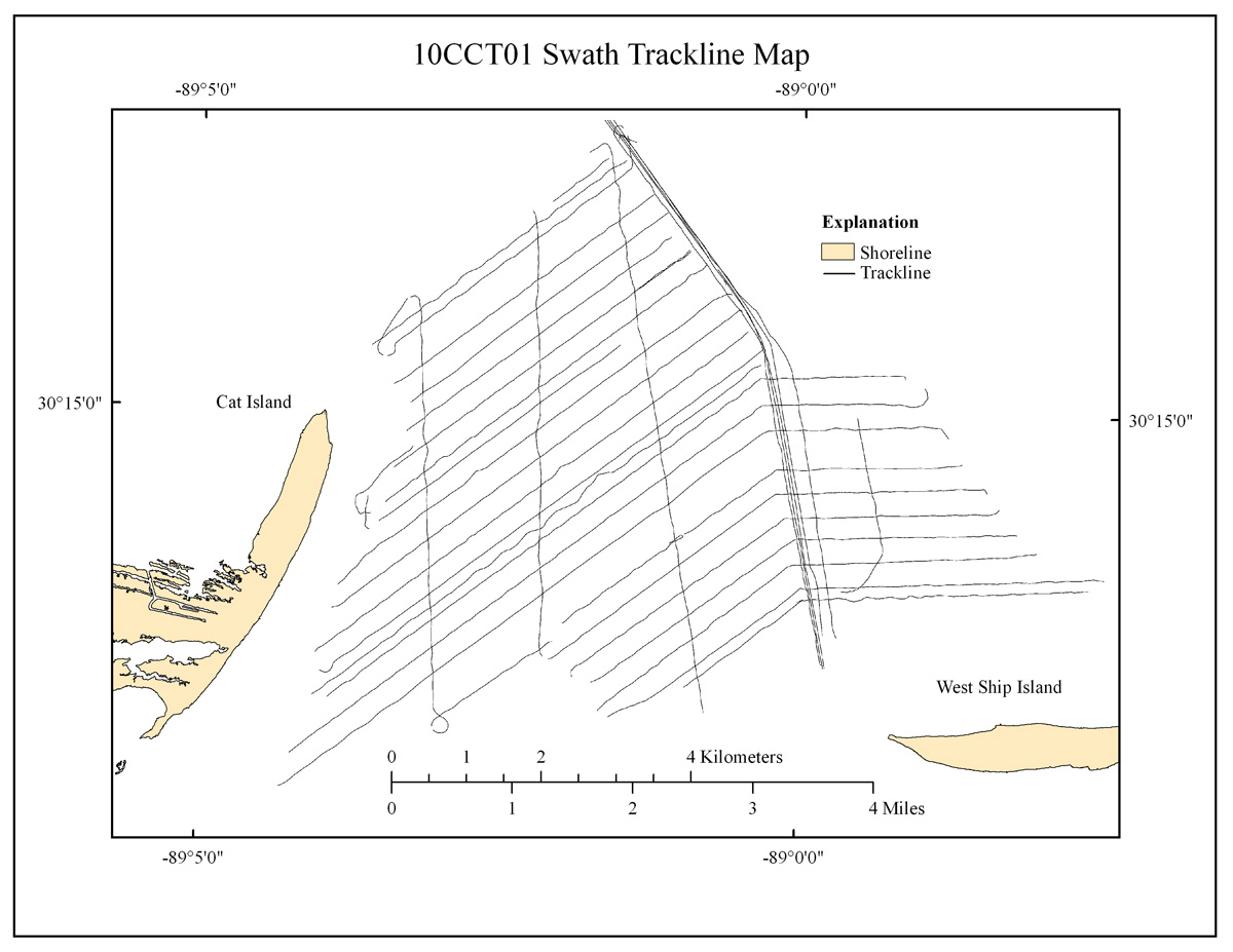
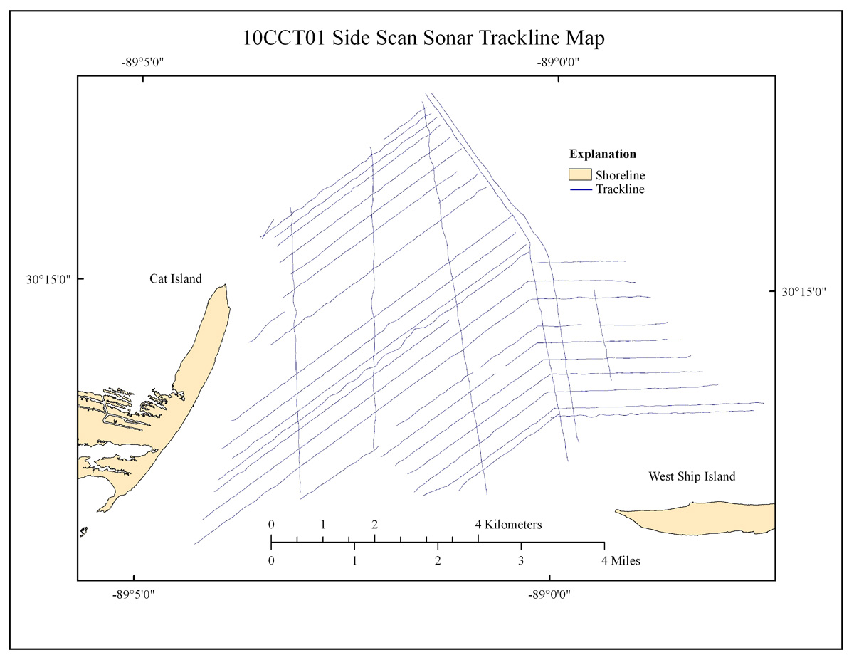
Differential navigation was acquired using the OmniSTAR Global Positioning System (GPS) and captured using the CodaOctopus Octopus F190 Precision Attitude and Positioning System. Ship navigation was displayed and recorded using HYPACK version 9.0. The swath bathymetry and side scan sonar data were collected simultaneously using SEA Swath Processor software version 3.6 and SonarPro version 11.3, respectively. The ship trackline navigation map covered more than 200 km (fig. 2). This map differs slightly in coverage and length from the processed swath and side scan trackline maps which produced 193 km and 171 km of tracklines, respectively (fig. 3 and fig. 4). These differences resulted from technical issues including but not limited to data loss due to equipment malfunction, poor data quality, and inconsistencies with starting and ending lines during turns. The trackline maps were created with ESRI ArcGIS version 9.3.1 software.

Figure 2. Map showing ship trackline coverage, offshore of Cat Island, Mississippi. |

Figure 3. Map showing processed swath trackline coverage, offshore of Cat Island, Mississippi. |

Figure 4. Map showing processed side scan trackline coverage, offshore Cat Island, Mississippi. |