USGS - science for a changing world

U.S. Geological Survey Data Series 590

Area 1d Map


Home | Acronyms | Contents | Navigation | Profiles | Logs | Metadata | Software


Location Map | Area 1 | Area 1a | Area 1b | Area 1c | Area 1d | Area 2


Click on trackline name to view the geospatial profile.

Area 1d09c600 geospatial profile09c607 geospatial profile09c520 geospatial profile09c514 geospatial profile09c512 geospatial profile09c523 geospatial profile09c606 geospatial profile09c503a geospatial profile09c530 geospatial profile09c522 geospatial profile09c503 geospatial profile09c605 geospatial profile09c604 geospatial profile09c528 geospatial profile09c612 geospatial profile09c524 geospatial profile09c526 geospatial profile09c514a geospatial profile09c611 geospatial profile09c601 geospatial profile09c516 geospatial profile09c602 geospatial profile09c517 geospatial profile09c610 geospatial profile09c512a geospatial profile09c521 geospatial profile09c608 geospatial profile09c518 geospatial profile09c515 geospatial profile09c609 geospatial profile09c525 geospatial profile09c527 geospatial profile09c603 geospatial profile09c529 geospatial profile09i28 geospatial profile09i43 geospatial profile09i41 geospatial profile09i41a geospatial profile09i40 geospatial profile09i24 geospatial profile09i39 geospatial profile09c531 geospatial profile

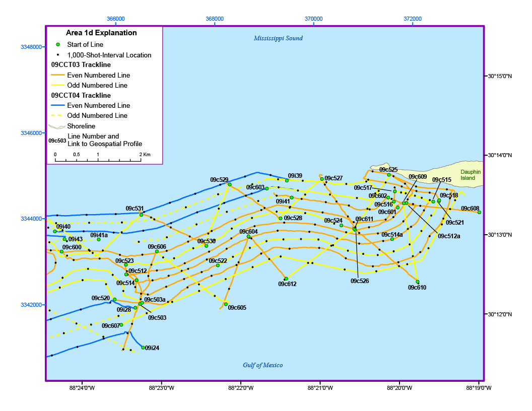
Figure 7. Detailed trackline map of digital subbottom profile data collected offshore of Dauphin Island (refer to Area 1/figure 3 for location) during USGS field activities 09CCT03 and 09CCT04.


Home | Acronyms | Contents | Navigation | Profiles | Logs | Metadata | Software

Accessibility FOIA Privacy Policies and Notices

Take Pride in America logo USA.gov logo U.S. Department of the Interior | U.S. Geological Survey
URL: http://pubsdata.usgs.gov/pubs/ds/590/html/area1d.html
Page Contact Information: Feedback
Page Last Modified: Monday, 28-Nov-2016 16:55:08 EST