U.S. Geological Survey Data Series 590
| Navigation Statistics | ||
| Item | Description | Details |
| Minimum Northing Minimum Latitude |
3342410.2 30 12.3108' N |
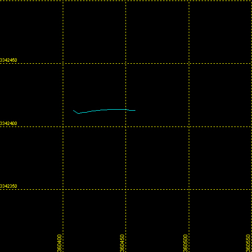 |
| Maximum Northing Maximum Latitude |
3342413.3 30 12.3128' N |
|
| Minimum Easting Minimum Longitude |
360407.9 088 27.0150' W |
|
| Maximum Easting Maximum Longitude |
360459.2 088 26.9830' W |
|
|Back|

![]() U.S. Department of the Interior |
U.S. Geological Survey
U.S. Department of the Interior |
U.S. Geological Survey
URL: http://pubsdata.usgs.gov/pubs/ds/590/maps/linenav/09cct03/09c501a_nav.html
Page Contact Information: Feedback
Page Last Modified: Monday, 28-Nov-2016 16:56:36 EST
