Data Series 617
|
|
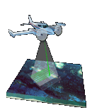
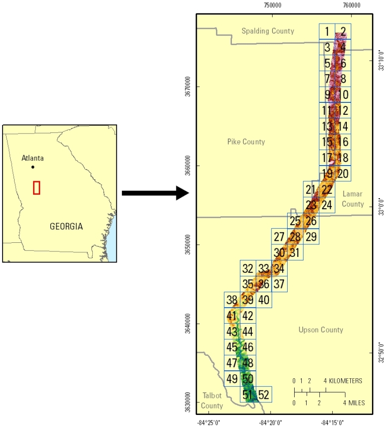
EAARL Topography–Potato Creek Watershed, Georgia, 2010J.M. Bonisteel-Cormier,1 Amar Nayegandhi,2 Xan Fredericks,2 J.W. Jones,3 C.W. Wright,1 J.C. Brock,4 and D.B. Nagle5 1U.S. Geological Survey, St. Petersburg Coastal and Marine Science Center, St. Petersburg, FL; 2Jacobs Technology Inc., St. Petersburg, FL; 3U.S. Geological Survey, Eastern Geographic Science Center, Reston, VA; 4U.S. Geological Survey, Coastal and Marine Geology Program, Reston, VA; 5Jacobs Technology Inc., Reston, VA. This DVD contains lidar-derived first-surface (FS) and bare-earth (BE) topography GIS datasets of a portion of the Potato Creek watershed in the Apalachicola-Chattahoochee-Flint River basin, Georgia. These datasets were acquired on February 27, 2010. Click on a tile number (1 - 52) to view the corresponding images and links to each data directory.
Click on the links below to view mosaics of the data. Bare Earth (BE) 250-centimeter-resolution mosaic First Surface (FS) 250-centimeter-resolution mosaic Suggested Citation: Bonisteel-Cormier, J.M., Nayegandhi, Amar, Fredericks, Xan, Jones, J.W., Wright, C.W., Brock, J.C., and Nagle, D.B., 2011, EAARL topography–Potato Creek watershed, Georgia, 2010: U.S. Geological Survey Data Series 617, 1 DVD. Publications are available from USGS Information Services, Box 25286, Federal Center, Denver, CO 80225-0046 (telephone: 1-888-ASK-USGS; email: infoservices@usgs.gov). |

![]() U.S. Department of the Interior |
U.S. Geological Survey
U.S. Department of the Interior |
U.S. Geological Survey
URL: http://pubsdata.usgs.gov/pubs/ds/617/index.html
Page Contact Information: GS Pubs Web Contact
Page Last Modified: Monday, 28-Nov-2016 17:43:55 EST