Data Series 628
|
|
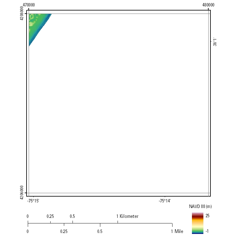
EAARL Coastal Topography–Assateague Island National Seashore, Maryland and Virginia, 2010UTM Tile e478_n4208_18First-Surface Topography: 2.5-meter resolution
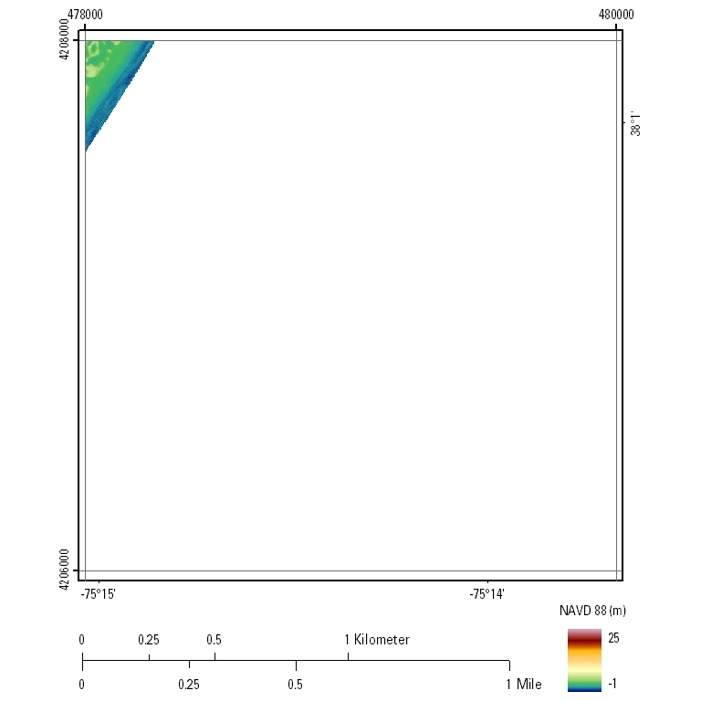
Bare-Earth Topography: 2.5-meter resolution
|

![]() U.S. Department of the Interior |
U.S. Geological Survey
U.S. Department of the Interior |
U.S. Geological Survey
URL: http://pubsdata.usgs.gov/pubs/ds/628/html/tile_htmls/e478_n4208_18.html
Page Contact Information: GS Pubs Web Contact
Page Last Modified: Monday, 28-Nov-2016 18:11:14 EST