Data Series 767
|
|
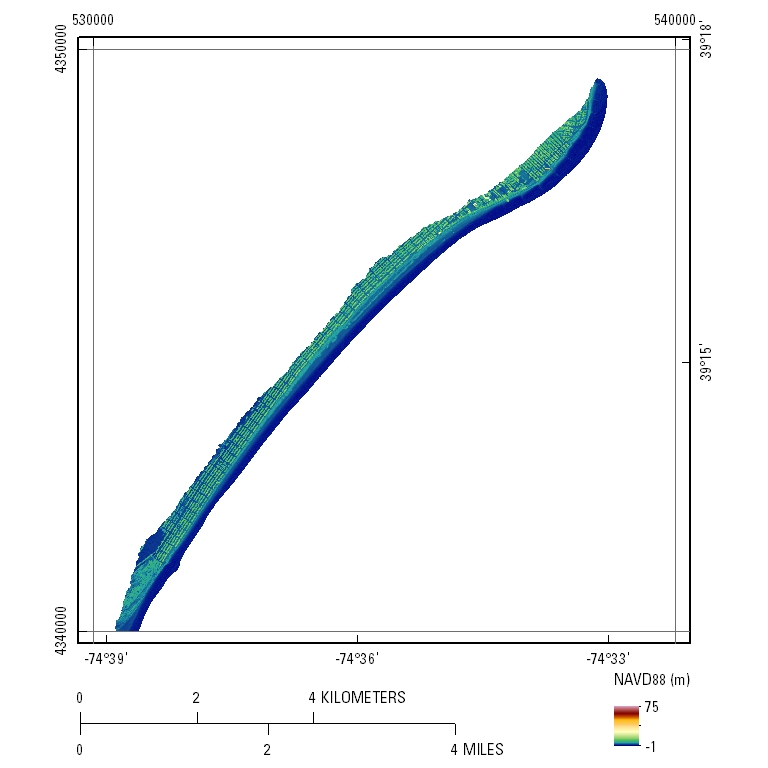
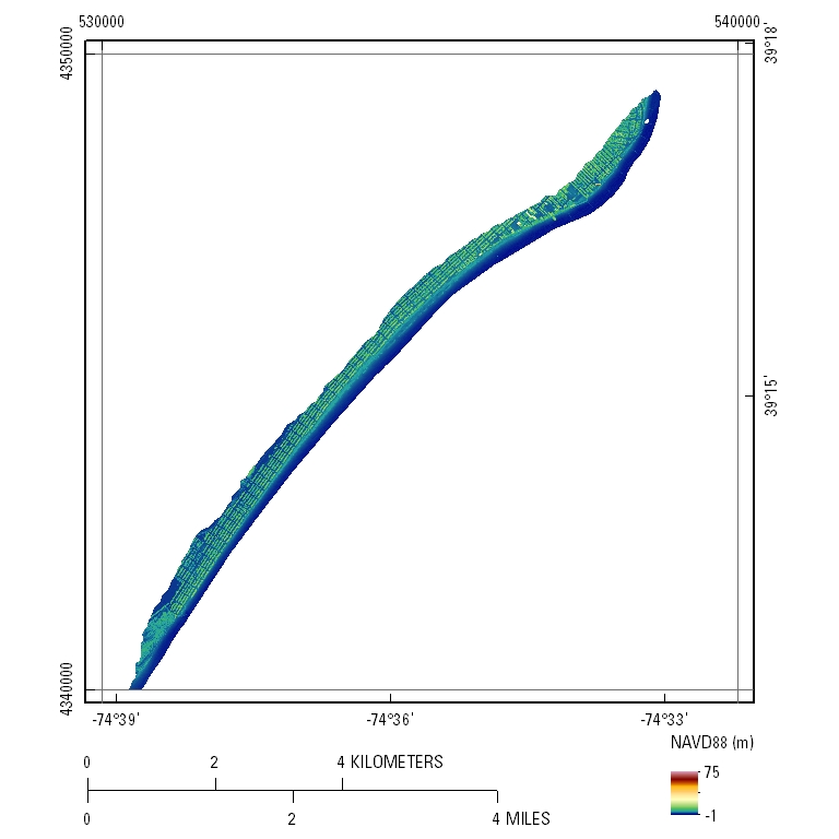
EAARL-B Coastal Topography–Eastern New Jersey, Hurricane Sandy, 2012: First SurfaceUTM Tile e530_n4350_18Pre-Hurricane Sandy: 2.5-meter resolution
Post-Hurricane Sandy: 2.5-meter resolution
|

![]() U.S. Department of the Interior |
U.S. Geological Survey
U.S. Department of the Interior |
U.S. Geological Survey
URL: http://pubsdata.usgs.gov/pubs/ds/767/html/tile_htmls/e530_n4350_18.html
Page Contact Information: GS Pubs Web Contact
Page Last Modified: Monday, 28-Nov-2016 19:29:41 EST