Data Series 856
Click on the highlighted area to view the area in greater detail.
Location Map | Area 1 | Area 2 | Area 3 | Area 4
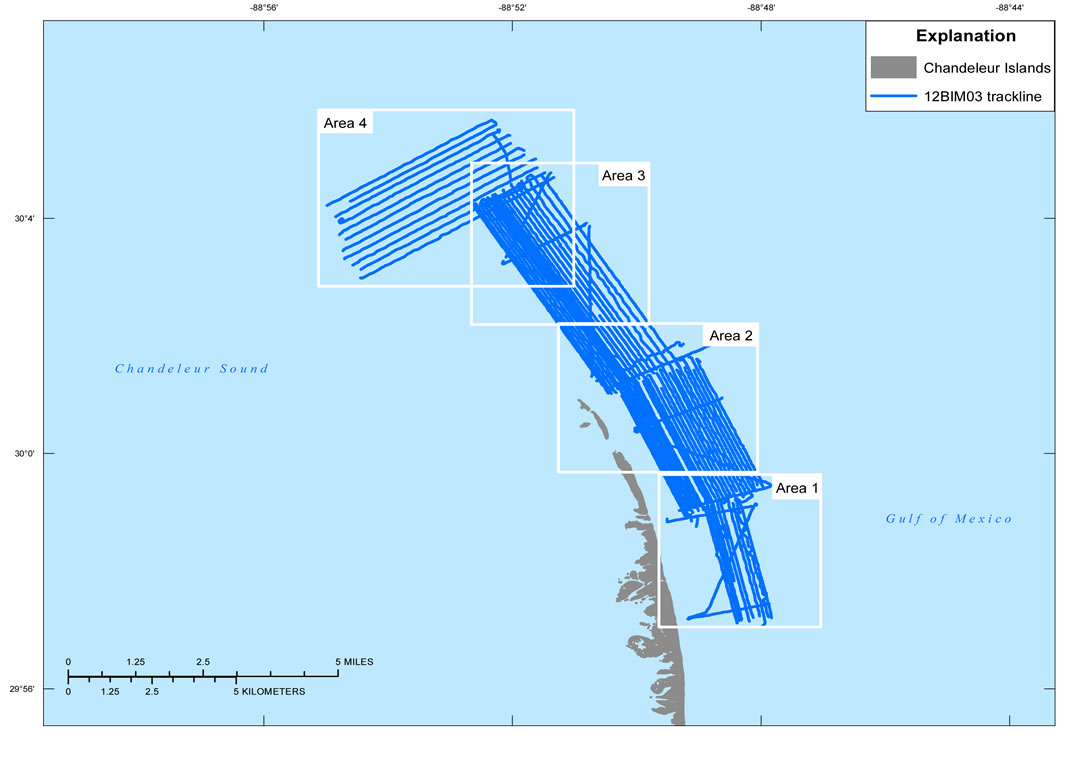
Figure 3. Map showing location of all digital subbottom profile data collected during USGS field activity 12BIM03, offshore of the Chandeleur Islands, La.

![]() U.S. Department of the Interior |
U.S. Geological Survey
U.S. Department of the Interior |
U.S. Geological Survey
URL: http://pubsdata.usgs.gov/pubs/ds/856/html/ds856_location.html
Page Contact Information: GS Pubs Web Contact
Page Last Modified: Monday, 28-Nov-2016 19:29:25 EST
