Data Series 99
A GIS Library of Multibeam Data for Massachusetts Bay and the Stellwagen Bank National Marine Sanctuary, Offshore of Boston, Massachusetts, USGS DS 99; Version 1.0
|
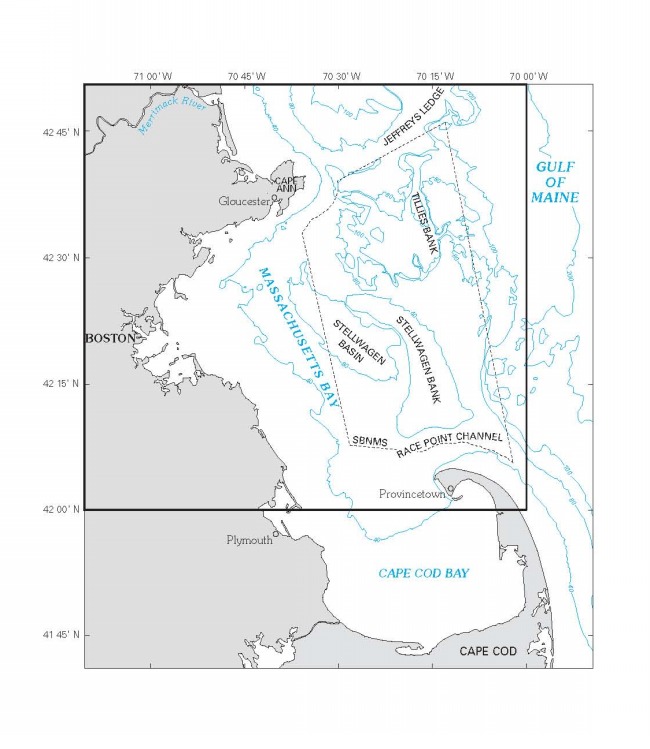
Figure 5. Boundary of 1:125,000 scale map of Massachusetts Bay.
Download Adobe Reader to read PDF documents. |
Any use of trade names is for descriptive purposes only and does not imply endorsement by the U.S. Government.

![]() U.S. Department of the Interior |
U.S. Geological Survey
U.S. Department of the Interior |
U.S. Geological Survey
URL: http://pubsdata.usgs.gov/pubs/ds/99/webpages/fig5.html
Page Contact Information: GS Pubs Web Contact
Page Last Modified: Monday, 16-Sep-2024 11:28:54 EDT