Fact Sheet 2008–3074
 PDF (10.9 MB) |
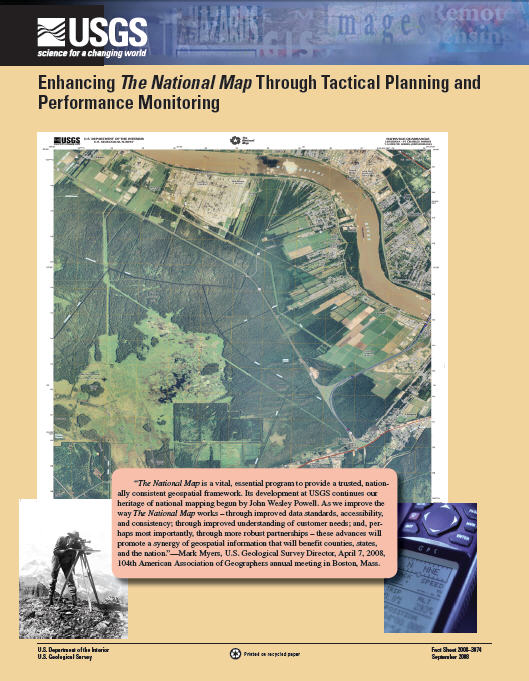
AbstractTactical planning and performance monitoring are initial steps toward improving the way The National Map works and supporting the U.S. Geological Survey (USGS) Science Strategy. This Tactical Performance Planning Summary for The National Map combines information from The National Map 2.0 Tactical Plan and The National Map Performance Milestone Matrix. The National Map 2.0 Tactical Plan is primarily a working document to guide The National Map programs execution, production, and metrics monitoring for fiscal years (FY) 2008 and 2009. The Tactical Plan addresses data, products, and services, as well as supporting and enabling activities.The National Map's 2-year goal for FY 2008 and FY 2009 is to provide a range of geospatial products and services that further the National Spatial Data Infrastructure and underpin USGS science. To do this, the National Geospatial Program will develop a renewed understanding during FY 2008 of key customer needs and requirements, develop the infrastructure to support The National Map business model, modernize its business processes, and reengineer its workforce. Priorities for The National Map will be adjusted if necessary to respond to changes to the project that may impact resources, constrain timeframes, or change customer needs. The supporting and enabling activities that make it possible to produce the products and services of The National Map will include partnership activities, improved compatibility of systems, outreach, and integration of data themes. For more information, please contact nationalmap@usgs.gov. Suggested citation: |
This document is available online in Portable Document Format (PDF); the latest version of Adobe Acrobat Reader or similar software is required to view it. Download the latest version of Acrobat Reader, free of charge or go to access.adobe.com for free tools that allow visually impaired users to read PDF files.

![]() U.S. Department of the Interior |
U.S. Geological Survey
U.S. Department of the Interior |
U.S. Geological Survey
URL: http://pubsdata.usgs.gov/pubs/fs/2008/3074/index.htm
Page Contact Information: Web Administrator
Page Last Modified: Tuesday, 29-Nov-2016 18:21:32 EST
