Fact Sheet 2008–3091
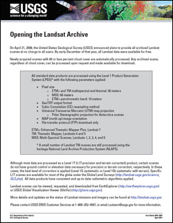
The USGS Landsat archive holds an unequaled 37-year record of the Earth’s surface that is invaluable to climate change studies, forest and resource management activities, and emergency response operations. All Landsat images within the USGS Earth Resources Observation and Science (EROS) Center archive are available free of charge to users with electronic access via the Web. Newly acquired Landsat 7 Enhanced Thematic Mapper Plus (ETM+) Scan Line Corrector off (SLC-off) and Landsat 5 Thematic Mapper (TM) images with less than 40 percent cloud cover are automatically processed and made available for immediate download, and requests can be placed for the processing of all other scenes. |
First posted October 23, 2008 For additional information contact: Part or all of this report is presented in Portable Document Format (PDF); the latest version of Adobe Reader or similar software is required to view it. Download the latest version of Adobe Reader, free of charge. |
U.S. Geological Survey, 2008, Opening the Landsat archive: U.S. Geological Survey Fact Sheet 2008–3091, 1 p.

![]() U.S. Department of the Interior | U.S. Geological Survey
U.S. Department of the Interior | U.S. Geological Survey
URL: http://pubsdata.usgs.gov/pubs/fs/2008/3091/index.html
Questions or Assistance: Contact USGS
Last modified: Tuesday, 29-Nov-2016 18:22:37 EST
