Fact Sheet 2009–3017
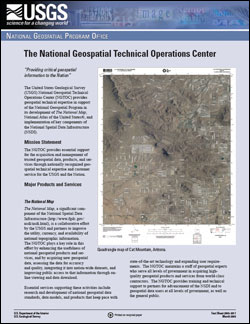
SummaryThe United States Geological Survey (USGS) National Geospatial Technical Operations Center (NGTOC) provides geospatial technical expertise in support of the National Geospatial Program in its development of The National Map, National Atlas of the United States®, and implementation of key components of the National Spatial Data Infrastructure (NSDI). Mission Statement The NGTOC provides essential support for the acquisition and management of trusted geospatial data, products, and services through nationally recognized geospatial technical expertise and customer service for the USGS and the Nation. |
Posted April 3, 2009 For additional information contact: Part or all of this report is presented in Portable Document Format (PDF); the latest version of Adobe Reader or similar software is required to view it. Download the latest version of Adobe Reader, free of charge. |
Craun, K.J., Constance, E.W., Donnelly, J.P., Newell, M.R., 2009, The National Geospatial Technical Operations Center: U.S. Geological Survey Fact Sheet 2009-3017, 2 p.

![]() U.S. Department of the Interior | U.S. Geological Survey
U.S. Department of the Interior | U.S. Geological Survey
URL: http://pubsdata.usgs.gov/pubs/fs/2009/3017/index.html
Questions or Assistance: Contact USGS
Last modified: Tuesday, 29-Nov-2016 17:31:48 EST
