Fact Sheet 2010–3026
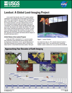
IntroductionAcross nearly four decades since 1972, Landsat satellites continuously have acquired space-based images of the Earth’s land surface, coastal shallows, and coral reefs. The Landsat Program, a joint effort of the U.S. Geological Survey (USGS) and the National Aeronautics and Space Administration (NASA), was established to routinely gather land imagery from space; consequently, NASA develops remote-sensing instruments and spacecraft, then launches and validates the satellites. The USGS then assumes ownership and operation of the satellites, in addition to managing all ground-data reception, archiving, product generation, and distribution. The result of this program is a visible, long-term record of natural and human-induced changes on the global landscape. |
First posted May 11, 2010 For additional information contact: Part or all of this report is presented in Portable Document Format (PDF); the latest version of Adobe Reader or similar software is required to view it. Download the latest version of Adobe Reader, free of charge. |
Headley, Rachel, 2010, Landsat—A global land-imaging project: U.S. Geological Survey Fact Sheet 2010–3026, 4 p.

![]() U.S. Department of the Interior |
U.S. Geological Survey
U.S. Department of the Interior |
U.S. Geological Survey
URL: http://pubsdata.usgs.gov/pubs/fs/2010/3026/index.html
Page Contact Information: GS Pubs Web Contact
Page Last Modified: Tuesday, 29-Nov-2016 17:38:57 EST
