Fact Sheet 2010–3118
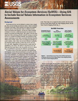
Ecosystem services can be defined in various ways; simply put, they are the benefits provided by nature, which contribute to human well-being. These benefits can range from tangible products such as food and fresh water to cultural services such as recreation and esthetics. As the use of these benefits continues to increase, additional pressures are placed on the natural ecosystems providing them. This makes it all the more important when assessing possible tradeoffs among ecosystem services to consider the human attitudes and preferences that express underlying social values associated with their benefits. While some of these values can be accounted for through economic markets, other values can be more difficult to quantify, and attaching dollar amounts to them may not be very useful in all cases. Regardless of the processes or units used for quantifying such values, the ability to map them across the landscape and relate them to the ecosystem services to which they are attributed is necessary for effective assessments. To address some of the needs associated with quantifying and mapping social values for inclusion in ecosystem services assessments, scientists at the Rocky Mountain Geographic Science Center (RMGSC), in collaboration with Colorado State University, have developed a public domain tool, Social Values for Ecosystem Services (SolVES). SolVES is a geographic information system (GIS) application designed to use data from public attitude and preference surveys to assess, map, and quantify social values for ecosystem services. SolVES calculates and maps a 10-point Value Index representing the relative perceived social values of ecosystem services such as recreation and biodiversity for various groups of ecosystem stakeholders. SolVES output can also be used to identify and model relationships between social values and physical characteristics of the underlying landscape. These relationships can then be used to generate predicted Value Index maps for areas where survey data are not available. RMGSC will continue to develop more robust versions of SolVES by pursuing opportunities to work with land and resource managers as well as other researchers to apply SolVES to specific ecosystem management problems. |
First posted December 6, 2010 For additional information contact: This report is presented in Portable Document Format (PDF); the latest version of Adobe Reader or similar software is required to view it. Download the latest version of Adobe Reader, free of charge. |
Sherrouse, B.C., and Semmens, D.J., 2010, Social Values for Ecosystem Services (SolVES)—Using GIS to include social values information in ecosystem services assessments: U.S. Geological Survey Fact Sheet 2010–3118, 2 p.

![]() U.S. Department of the Interior |
U.S. Geological Survey
U.S. Department of the Interior |
U.S. Geological Survey
URL: http://pubsdata.usgs.gov/pubs/fs/2010/3118/index.html
Page Contact Information: GS Pubs Web Contact
Page Last Modified: Tuesday, 29-Nov-2016 17:42:50 EST
