Fact Sheet 2011–3009
Summary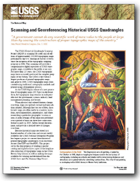
The USGS Historical Quadrangle Scanning Project (HQSP) is scanning all scales and all editions of approximately 250,000 topographic maps published by the U.S. Geological Survey (USGS) since the inception of the topographic mapping program in 1884. This scanning will provide a comprehensive digital repository of USGS topographic maps, available to the public at no cost. This project serves the dual purpose of creating a master catalog and digital archive copies of the irreplaceable collection of topographic maps in the USGS Reston Map Library as well as making the maps available for viewing and downloading from the USGS Store and The National Map Viewer. |
First posted January 19, 2011 For additional information contact: Part or all of this report is presented in Portable Document Format (PDF); the latest version of Adobe Reader or similar software is required to view it. Download the latest version of Adobe Reader, free of charge. |
Allord, G.J., and Carswell, W.J., Jr., 2011, Scanning and georeferencing historical USGS quadrangles: U.S. Geological Survey Fact Sheet 2011–3009, 2 p.

![]() U.S. Department of the Interior |
U.S. Geological Survey
U.S. Department of the Interior |
U.S. Geological Survey
URL: http://
pubsdata.usgs.gov
/pubs/fs/2011.old/3009/index.html
Page Contact Information: USGS Publications Team
Page Last Modified: Tuesday, 29-Nov-2016 18:09:18 EST
