U.S. Geological Survey Fact Sheet 2011–3017
Summary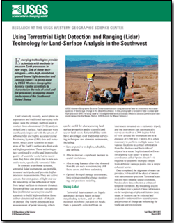
Emerging technologies provide scientists with methods to measure Earth processes in new ways. One of these technologies—ultra-high-resolution, ground-based light detection and ranging (lidar)—is being used by USGS Western Geographic Science Center scientists to characterize the role of wind and fire processes in shaping desert landscapes of the Southwest United States. |
For additional information: This report is presented in Portable Document Format (PDF); the latest version of Adobe Reader or similar software is required to view it. Download the latest version of Adobe Reader, free of charge. |
Soulard, C.E., and Bogle, R.C., 2011, Using terrestrial light detection and ranging (lidar) technology for land-surface analysis in the Southwest: U.S. Geological Survey Fact Sheet 2011-3017, 2 p.

![]() U.S. Department of the Interior |
U.S. Geological Survey
U.S. Department of the Interior |
U.S. Geological Survey
[an error occurred while processing this directive]
URL: https://pubsdata.usgs.gov
Page Contact Information: USGS Publications Team
Page Last Modified: Tuesday, 29-Nov-2016 17:45:35 EST
