Fact Sheet 2011–3035
1 U.S. Geological Survey
2 City of Austin
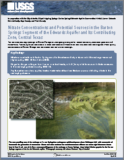
The area contributing recharge to Barton Springs is undergoing rapid growth, accompanied by increased generation of wastewater. This study found that nitrate, a major component of wastewater and a nutrient that can degrade water quality, has increased in Barton Springs and the creeks that provide its recharge. |
First posted May 16, 2011 For additional information contact: Part or all of this report is presented in Portable Document Format (PDF); the latest version of Adobe Reader or similar software is required to view it. Download the latest version of Adobe Reader, free of charge. |
Mahler, B.J., Musgrove, MaryLynn, and Herrington, Chris, 2011, Nitrate concentrations and potential sources in the Barton Springs segment of the Edwards aquifer and its contributing zone, Central Texas: U.S. Geological Survey Fact Sheet 2011–3035, 4 p.
Key Findings
Nutrients and Nitrate
Isotopic Ratios of Nitrate as a Tracer of Sources
What Does the Future Hold?
References

![]() U.S. Department of the Interior |
U.S. Geological Survey
U.S. Department of the Interior |
U.S. Geological Survey
URL: http://pubsdata.usgs.gov/pubs/fs/2011/3035/index.html
Page Contact Information: GS Pubs Web Contact
Page Last Modified: Tuesday, 29-Nov-2016 17:45:43 EST
