Fact Sheet 2011–3037
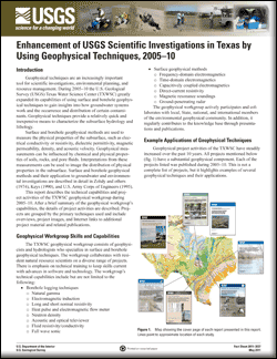
Geophysical techniques are an increasingly important tool for scientific investigations, environmental planning, and resource management. During 2005–10 the U.S. Geological Survey Texas Water Science Center greatly expanded its capabilities of using surface and borehole geophysical techniques to gain insights into how groundwater systems work and the occurrence and distribution of certain contaminants. Geophysical techniques provide a relatively quick and inexpensive means to characterize the subsurface hydrology and lithology. |
First posted May 5, 2011 For additional information contact: Part or all of this report is presented in Portable Document Format (PDF); the latest version of Adobe Reader or similar software is required to view it. Download the latest version of Adobe Reader, free of charge. |
Stanton, G.P., Payne, J.D., Teeple, A.P., Thomas, J.V., 2011, Enhancement of USGS scientific investigations in Texas by using geophysical techniques, 2005–10: U.S. Geological Survey Fact Sheet 2011–3037, 4 p.
Introduction
Geophysical Workgroup Skills and Capabilities
Example Applications of Geophysical Techniques
References Cited

![]() U.S. Department of the Interior |
U.S. Geological Survey
U.S. Department of the Interior |
U.S. Geological Survey
URL: http://pubsdata.usgs.gov/pubs/fs/2011/3037/index.html
Page Contact Information: GS Pubs Web Contact
Page Last Modified: Tuesday, 29-Nov-2016 17:45:42 EST
