This picture is from USGS FS-038-99
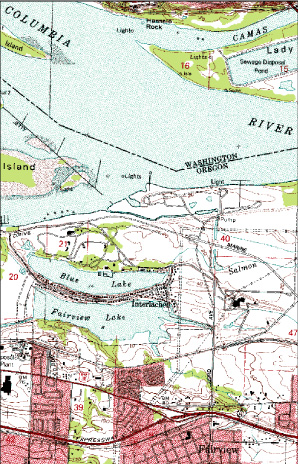
Figure 4. Digital Raster Graphics (DRG's) are used by the USGS to produce other map products or to assess the completeness of digital data from outside sources.
Back