
 |
 |
|
|
|
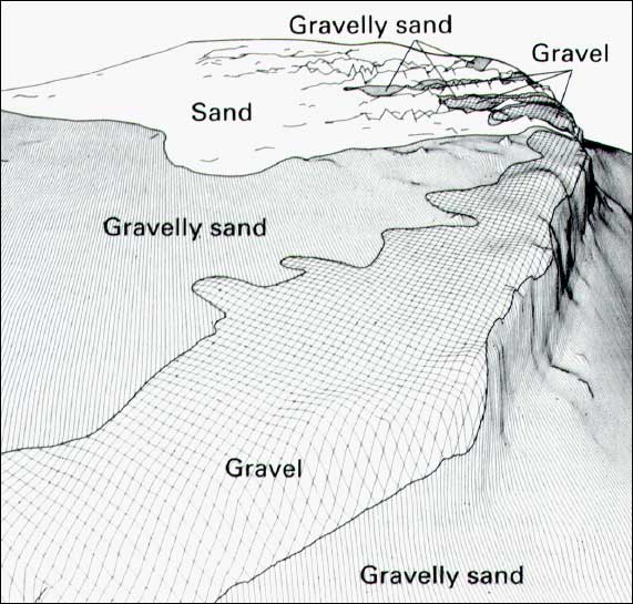
| Perspective view map looking southwest from Northeast Channel showing seafloor texture; eyepoint is 880 feet (268 m) above sea level and distance to horizon is 127 miles (205 km); vertical exaggeration is 100. Map shows the transition from gravelly, relatively smooth topography in the east (foreground) to sandy, very rough topography (sand ridges) in the west. Gravel pavement (including area where boulder are common) forms on the northern bank as sand ridges are eroded away and results in a gradual coarsening of the bank surface westward. |
 |