The well-documented landslide at Mount St. Helens has helped geologists to recognize more than 200 similar deposits at other volcanoes in the world, including several other Cascade peaks. Geologists now realize that large landslides from volcanoes are far more common than previously thought--seventeen such volcanic landslides have occurred worldwide in the past 400 years. Consequently, when scientists evaluate the types of volcanic activity that may endanger people, giant landslides are now included, in addition to other types of volcanic activity such as lava flows, pyroclastic flows, lahars, and falling ash.
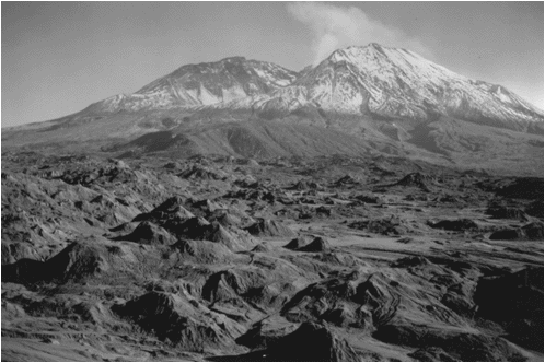
Following the 1980 explosive eruption, more than a dozen extrusions of thick, pasty lava built a mound-shaped lava dome in the new crater. The dome is about 1,100 meters in diameter and 250 meters tall.
<https://pubs.usgs.gov/gip/volcus/page22.html>
Maintained by John Watson
Updated 06.24.97
![]()
![]()
![]()