GROUND WATER ATLAS of the UNITED STATES
California, Nevada
HA 730-B
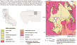
Northern California basin-fill aquifers
There are two different files for each illustration
- A 72 ppi GIF file, suitable for screen viewing is accessed through
the thumbnail image
- An eps file, suitable for downloading to be printed or edited is accessed
through the "eps file" link. Most files are Adobe Illustrator
5.5, exceptions are noted. These files have been compressed with GNU's
gzip utility. If your web browser defaults to a screen display of the file,
turn on the "Load to local disk" option before downloading. Download
and process these eps files as ascii, not binary.
Introduction
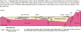
Butte Valley
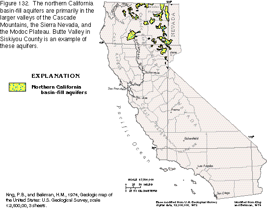
Figure 132 Map of Northern California basin-fill aquifers (17K)
 editable eps
file b132.eps.gz (92K compressed)
editable eps
file b132.eps.gz (92K compressed)
Figure 133 Map of Butte Valley geology (41K)
 editable eps
file b133.eps.gz (184K compressed)
editable eps
file b133.eps.gz (184K compressed)
Figure 134 Diagrammatic section of Butte Valley geology (14K)
 editable eps
file b134.eps.gz (27K compressed)
editable eps
file b134.eps.gz (27K compressed)
Figure 135 Map of Butte Valley water-table contours (18K)
 editable
eps
file b135.eps.gz (74K compressed)
editable
eps
file b135.eps.gz (74K compressed)
Figure 136 Map of Butte Valley potentiometric contours (19K)
 editable
eps
file b136.eps.gz (73K compressed)
editable
eps
file b136.eps.gz (73K compressed)
 editable eps
file b132.eps.gz (92K compressed)
editable eps
file b132.eps.gz (92K compressed) 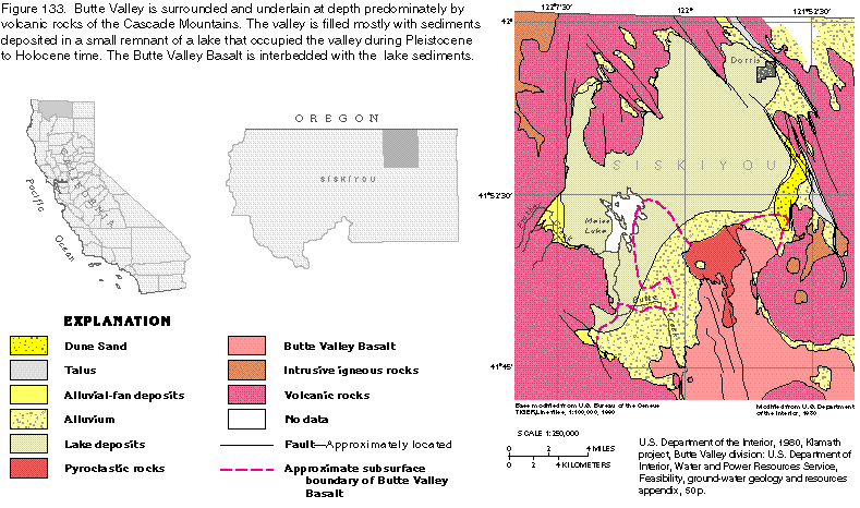 editable eps
file b133.eps.gz (184K compressed)
editable eps
file b133.eps.gz (184K compressed) 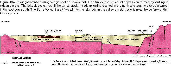 editable eps
file b134.eps.gz (27K compressed)
editable eps
file b134.eps.gz (27K compressed) 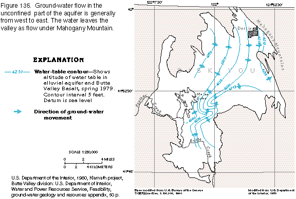 editable
eps
file b135.eps.gz (74K compressed)
editable
eps
file b135.eps.gz (74K compressed) 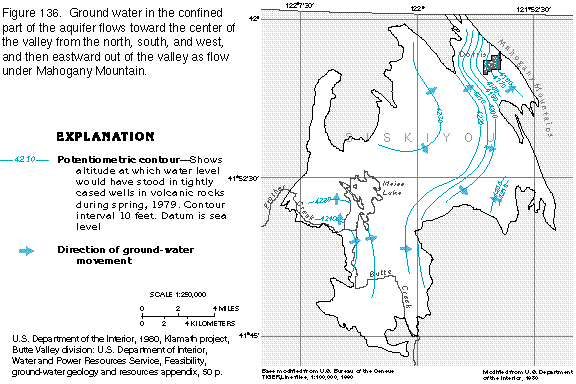 editable
eps
file b136.eps.gz (73K compressed)
editable
eps
file b136.eps.gz (73K compressed)