GROUND WATER ATLAS of the UNITED STATES
Arizona, Colorado, New Mexico, Utah
HA 730-C
Regional summary
There are two different files for each illustration
- A 90 ppi JPEG file, suitable for screen viewing is accessed
through the thumbnail image.
- A tiff file is accessed through the "tiff file"
link. All files are Adobe Photoshop. These files have been compressed
with GNU's gzip utility. If your web browser defaults to a screen
display of the file, turn on the "Load to local disk"
option before downloading. Download and process these tiff files
as ascii, not binary.
Geology
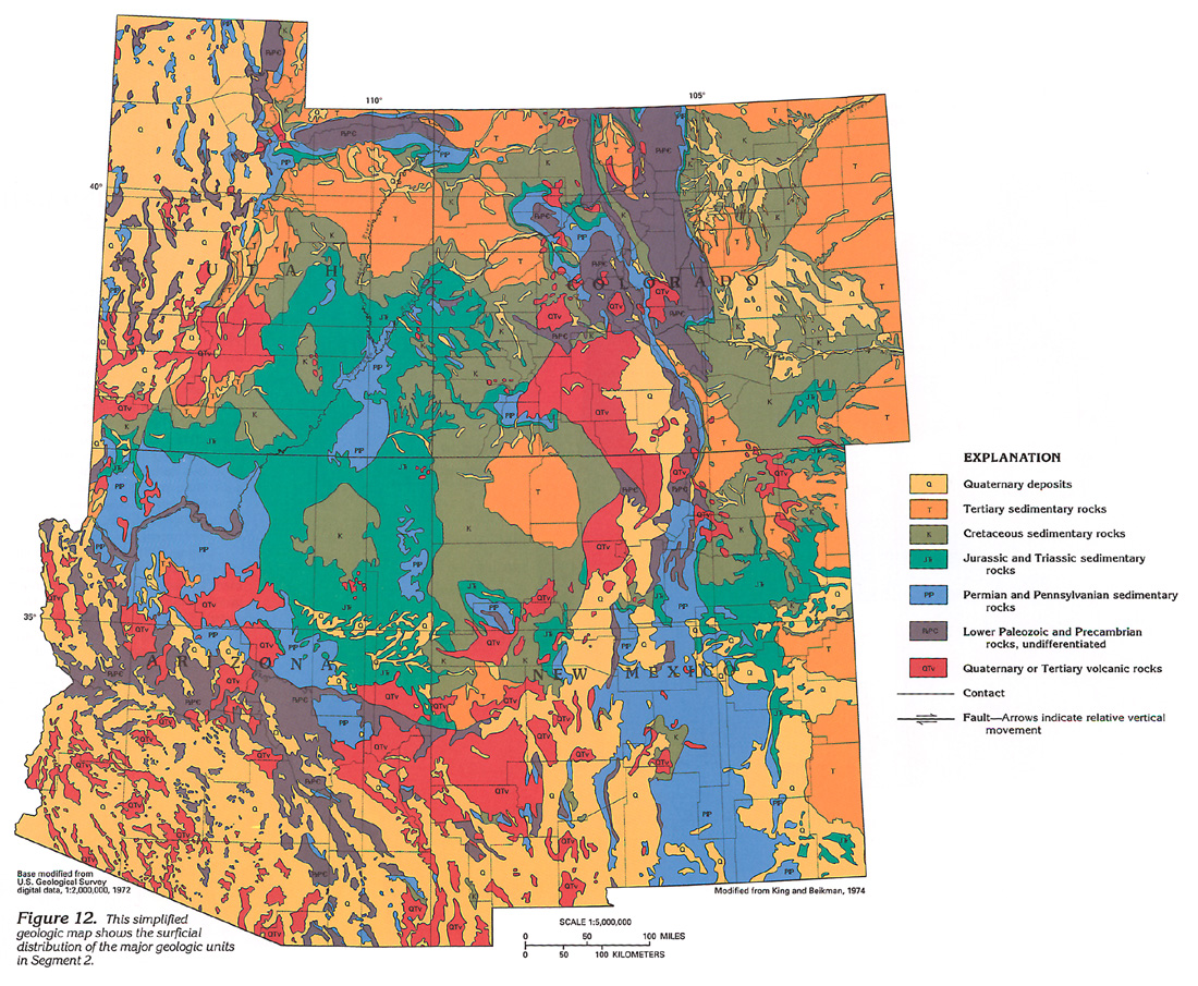
Figure 12 Map showing the surficial distribution of the major
geologic units (664K)
 downloadable tiff file C012.tif.gz
(6.8MB compressed)
downloadable tiff file C012.tif.gz
(6.8MB compressed)
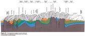
Figure 13 Idealized block diagram of northern Utah
and Colorado showing land surface and subsurface geology (448K)
 downloadable tiff file C013.tif.gz
(2.7MB compressed)
downloadable tiff file C013.tif.gz
(2.7MB compressed)
Figure 14 Photograph of Mohave Point in the Grand Canyon
(172K)
 downloadable tiff file C014.tif.gz
(1.4MB compressed)
downloadable tiff file C014.tif.gz
(1.4MB compressed)
Figure 15 Map showing relative displacement of
tectonic units (428K)
 downloadable tiff file C015.tif.gz
(3.9MB compressed)
downloadable tiff file C015.tif.gz
(3.9MB compressed)
 downloadable tiff file C012.tif.gz
(6.8MB compressed)
downloadable tiff file C012.tif.gz
(6.8MB compressed) 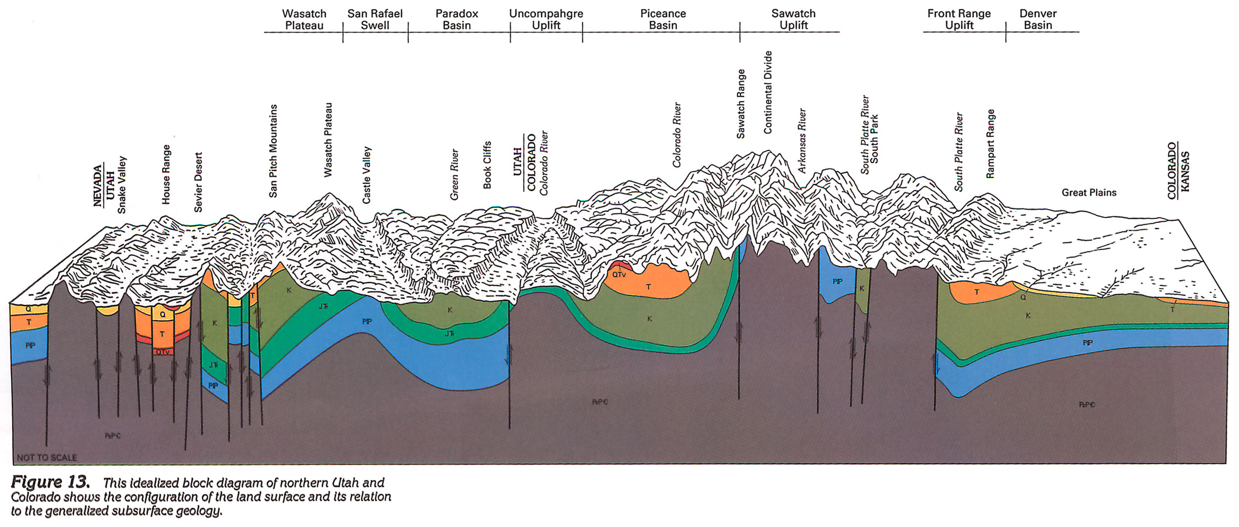 downloadable tiff file C013.tif.gz
(2.7MB compressed)
downloadable tiff file C013.tif.gz
(2.7MB compressed) 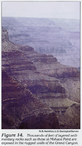 downloadable tiff file C014.tif.gz
(1.4MB compressed)
downloadable tiff file C014.tif.gz
(1.4MB compressed) 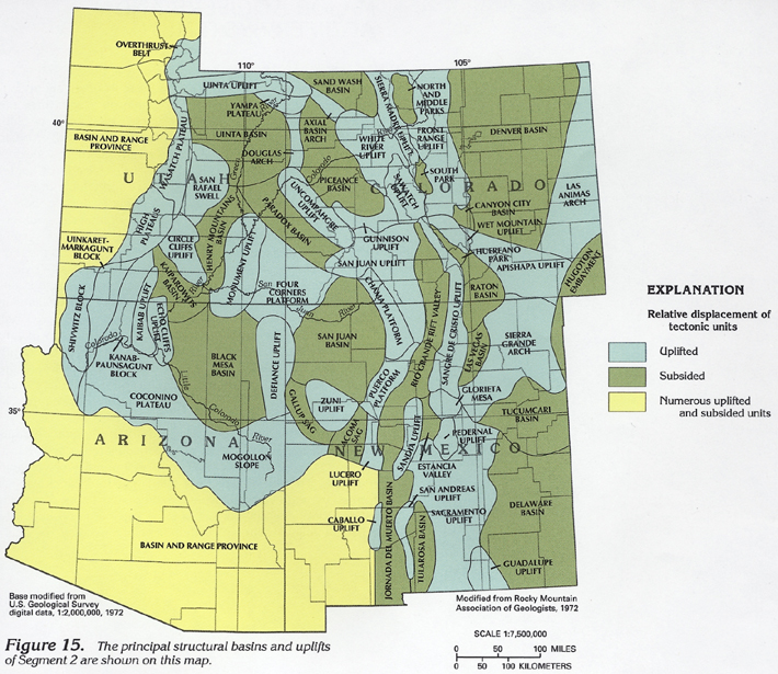 downloadable tiff file C015.tif.gz
(3.9MB compressed)
downloadable tiff file C015.tif.gz
(3.9MB compressed)