GROUND WATER ATLAS of the UNITED STATES
Delaware, Maryland, New Jersey, North Carolina, Pennsylvania, Virginia,
West Virginia
HA 730-L
North Atlantic Coastal Plain aquifer system
There are two different files for each illustration
- A 72 ppi GIF file, suitable for screen viewing is accessed through
the thumbnail image
- An eps file, suitable for downloading to be printed or edited is accessed
through the "eps file" link. Most files are Adobe Illustrator
6.0, exceptions are noted. These files have been compressed with GNU's
gzip utility. If your web browser defaults to a screen display of the file,
turn on the "Load to local disk" option before downloading. Download
and process these eps files as ascii, not binary.
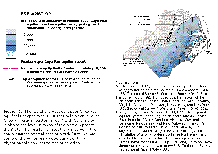
Peedeeupper Cape Fear aquifer
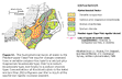
Figure 48 Map showing estimated transmissivity (50K)
 editable eps file L048.eps.gz
(99K compressed)
editable eps file L048.eps.gz
(99K compressed)
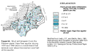
Figure 49 Map showing potentiometric contours (50K)
 editable eps file L049.eps.gz
(83K compressed)
editable eps file L049.eps.gz
(83K compressed)
Figure 50 Map showing potentiometric contours
(50K)
 editable eps file L050.eps.gz
(116K compressed)
editable eps file L050.eps.gz
(116K compressed)
Figure 51 Map showing hydrochemical facies (50K)
 editable eps file L051.eps.gz
(99K compressed)
editable eps file L051.eps.gz
(99K compressed)
Figure 52 Map showing fresh gound-water withdrawals
during 197980 (50K)
 editable eps file L052.eps.gz
(116K compressed)
editable eps file L052.eps.gz
(116K compressed)
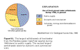
Figure 53 Chart showing the use of fresh ground-water
withdrawals during 1985 (50K)
 editable eps file L053.eps.gz
(17K compressed)
editable eps file L053.eps.gz
(17K compressed)
 editable eps file L048.eps.gz
(99K compressed)
editable eps file L048.eps.gz
(99K compressed) 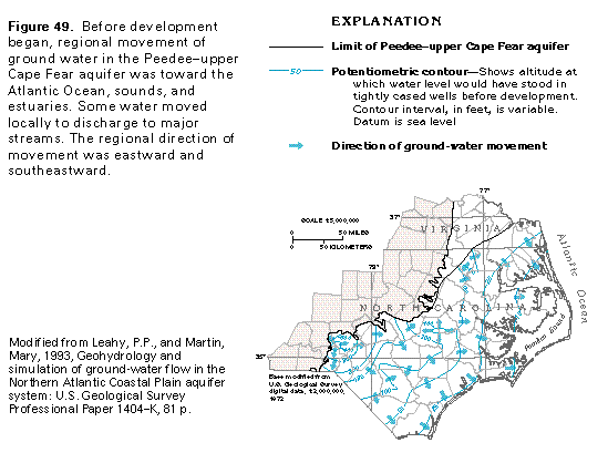 editable eps file L049.eps.gz
(83K compressed)
editable eps file L049.eps.gz
(83K compressed) 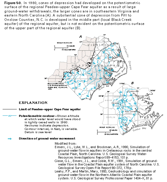 editable eps file L050.eps.gz
(116K compressed)
editable eps file L050.eps.gz
(116K compressed) 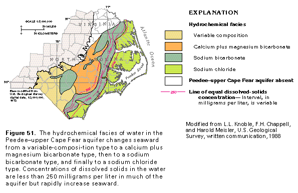 editable eps file L051.eps.gz
(99K compressed)
editable eps file L051.eps.gz
(99K compressed) 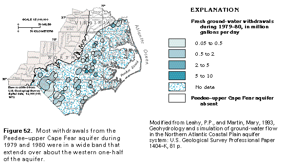 editable eps file L052.eps.gz
(116K compressed)
editable eps file L052.eps.gz
(116K compressed)  editable eps file L053.eps.gz
(17K compressed)
editable eps file L053.eps.gz
(17K compressed)