
|
|
|
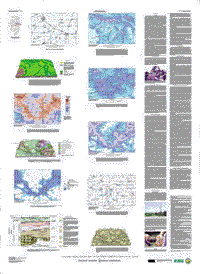
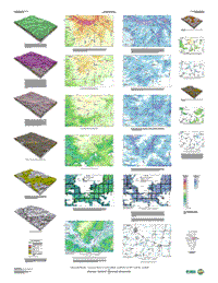
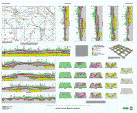
| Sheet 1 | Sheet 2 | Sheet 3 |
These are Portable Document File versions of the maps, at one half the size of the printed maps. The screen version is meant for viewing on the computer only. If you wish to plot the map, you should use the version created for printing. It will produce a plot that faithfully replicates the format, symbols, colors, and linework of the printed map. Page sizes are as follows: sheet 1, 20.5 by 28 inches; sheet 2, 21 by 29 inches; sheet 3, 25.5 by 21 inches. Plot resolution, quality, and colors will vary with plotter, inks, and paper used. If you wish to download Acrobat Reader 4.0 free of charge, click here.
Screen versions
Plotting versions
Animated 3-D Views and More Map Images
The offset-printed version of this map is available for purchase from USGS Information Services. See Ordering U.S. Geological Survey Products, call toll-free (from the U.S.) 1-888-ASK-USGS, or e-mail infoservices@usgs.gov.