
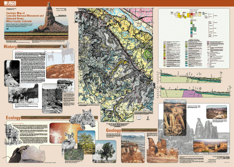
Geologic Map of Colorado National Monument and Adjacent Areas, Mesa County, Colorado
By Robert B. Scott, Anne E. Harding, William C. Hood, Rex D. Cole, Richard F. Livaccari, James B. Johnson, Ralph R. Shroba, and Robert P. Dickerson
Version 1.0
PDF files for viewing and printing:
Map PDF file (19.9 MB)
Pamphlet PDF file (33.7 MB)
Metadata files:
Metadata in TEXT format (64 KB)
Metadata in HTML format (86 KB)
Archive files:
GZIPPED TAR archive of ArcInfo files, metadata, etc. (64.7 MB)
ZIPPED archive of ArcInfo files, metadata, etc. (64.7
MB)
The online edition of this publication consists of a digital database, described in the accompanying metadata, and PDF files for the map sheet, which may be used to view and print the map. The publication also includes a 40-page pamphlet that contains the geologic history and other interpretive text, a full description of map units, and a list of references cited.
Printed paper copies of this map are for sale by Information Services, U.S. Geological Survey (1-888-ASK-USGS).
![]()