U.S. Geological Survey Miscellaneous Investigations Series I–2308
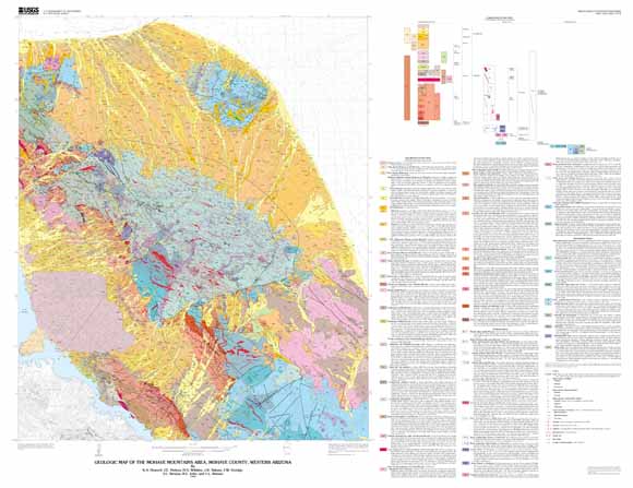
The Mohave Mountains area surrounds Lake Havasu City, Arizona, in the Basin and Range physiographic province (fig. 1). The Mohave Mountains and the Aubrey Hills form two northwest-trending ranges adjacent to Lake Havasu (elevation 132 m; 448 ft) on the Colorado River (fig. 2). The low Buck Mountains lie northeast of the Mohave Mountains in the alluviated valley of Dutch Flat. Lowlands at Standard Wash separate the Mohave Mountains from the Bill Williams Mountains to the southeast. The highest point in the area is Crossman Peak in the Mohave Mountains, at an elevation of 1519 m (5148 ft). Arizona Highway 95 is now rerouted in the northwestern part of the map area from its position portrayed on the base map; it now also passes through the southern edge of the map area (fig. 2).
Geologic mapping was begun in 1980 as part of a program to assess the mineral resource potential of Federal lands under the jurisdiction of the U.S. Bureau of Land Management (Light and others, 1983). Mapping responsibilities were as follows: Proterozoic and Mesozoic rocks, K.A. Howard; dikes, J.K. Nakata; Miocene section, J.E. Nielson; and surficial deposits, H.G. Wilshire.
Earlier geologic mapping includes reconnaissance mapping by Wilson and Moore (1959). The present series of investigations has resulted in reports on the crystalline rocks and structure (Howard and others, 1982a), dikes (Nakata, 1982), Tertiary stratigraphy (Pike and Hansen, 1982; Nielson, 1986; Nielson and Beratan, 1990), surficial deposits (Wilshire and Reneau, 1992), tectonics (Howard and John, 1987; Beratan and others, 1990), geophysics (Simpson and others, 1986), mineralization (Light and McDonnell, 1983; Light and others, 1983), field guides (Nielson, 1986; Howard and others, 1987), and geochronology (Nakata and others, 1990; Foster and others, 1990).
Last modified March 21, 2012
First posted July 19, 2000
Sheet 1 includes the geologic map and explanation. Sheet 2 includes a brief discussion of the geology, cross sections, age information, and other pertinent information.
For additional information:
Contact Information, Western Region Geology and Geophysics Science Center—Menlo Park
U.S. Geological Survey
345 Middlefield Road, MS-973
Menlo Park, CA 94025-3591
http://geomaps.wr.usgs.gov/
This report is presented in Portable Document Format (PDF); the latest version of Adobe Reader or similar software is required to view it. Download the latest version of Adobe Reader, free of charge.
Howard, K.A., Nielson, J.E., Wilshire, H.G., Nakata, J.K., Goodge, J.W., Reneau, S.L. ,John, B.E., and Hansen, V.L., 1999, Geologic map of the Mojave Mountains area, Mojave County, western Arizona: U.S. Geological Survey Miscellaneous Investigations Series I–2308, scale 1:48,000, available at https://pubs.usgs.gov/imap/i2308/.

![]() U.S. Department of the Interior |
U.S. Geological Survey
U.S. Department of the Interior |
U.S. Geological Survey
URL: http://pubsdata.usgs.gov/pubs/imap/i2308/index.html
Page Contact Information: GS Pubs Web Contact
Page Last Modified: Wednesday, 30-Nov-2016 17:36:17 EST
