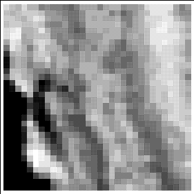
An image of the SanSac region at very low resolution. Although the original satellite data are 1,100 meters and the CD-ROM data are 1 km, this image has been aggregated to 8 km to illustrate how analysis can be conducted at multiple resolutions. This is useful in testing models with smaller data sets and in investigating the role of scale in analysis.