U.S. Geological Survey Open-File Report 95-554
Abstract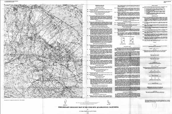
Reconnaissance geologic mapping of the San Rafael Primitive Area (now the San Rafael Wilderness) by Gower and others (1966) and Vedder an others (1967) showed s number of stratigraphic and structural ambiguities. To help resolve some of those problems, additional field work was done on parts of the Big Pine Moutain quadrangle during short intervals in 1981 and 1984, and 1990-1994. |
First posted June 8, 2009
This report is available only on the Web. For additional information contact: This report is presented in Portable Document Format (PDF); at least version 7 of Adobe Reader or similar software is required to view it. Download the latest version of Adobe Reader, free of charge. |
Vedder, J.G., McLean, Hugh, and Stanley, R.G., 1995, Preliminary geologic map of the Big Pine Mountain quadrangle, California: U.S. Geological Survey Open-File Report 95-554, scale 1:24,000 [https://pubs.usgs.gov/of/1995/of95-554/].

![]() U.S. Department of the Interior |
U.S. Geological Survey
U.S. Department of the Interior |
U.S. Geological Survey
[an error occurred while processing this directive]
URL: https://pubsdata.usgs.gov
Page Contact Information: Contact USGS
Page Last Modified: Wednesday, December 07 2016, 04:00:26 PM (mfd)
