


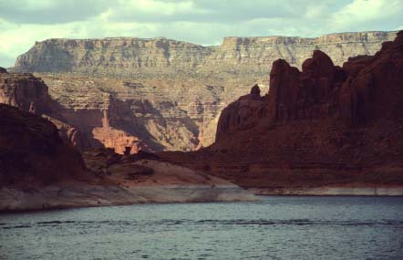
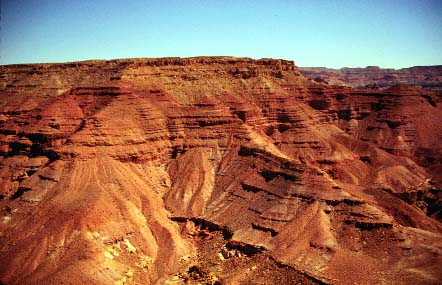
Preliminary investigation of the distribution and resources of coal in the Kaiparowits Plateau, southern Utah
by R. D. Hettinger, L. N. R. Roberts, L. R. H. Biewick, M. A. Kirschbaum
Open-File Report 96-539
This report is preliminary and has not been reviewed for conformity with U.S. Geological Survey editorial standards (or with the North America Stratigraphic Code). Any use of trade, product, or firm names is for descriptive purposes only and does not imply endorsement by the U.S. Government.
Downloading and viewing the files requires Adobe Acrobat Reader.
If you do not already have Acrobat Reader, you may download Adobe Acrobat Reader Now. from Adobe Systems Inc.
Open-File Report (minus Plate 1)
Plate1 (NOTE: In addition, the hardcopy of Plate 1 is a 45 x 36 inch document, taking 1,988K of disk space, that can be saved and made on a plotter in postscript mode. Also, hardcopy of the individual figures included in Plate 1, with various sizes listed below, can alsobe made on a plotter.)
Figure A - 20x 14 inch, 102K
Figure B - 8.5x 11 inch, 96K
Figure C - 33x 10 inch, 617 K
Figure D - 19x 12 inch, 331 K
Figure E - 25x 12 inch, 425 K
Fig. Explanation Plate 1 - 8.5 x 11 inch, 16 K
The Executive Summary (9 K)
Introduction(100 K)
- Purpose and scope
- Methods
- Lithologic and stratigraphic data
- Geologic maps
- Geographic boundaries
- Location
- Previous geologic studies and mining activity
- Acknowledgments
Geologic Setting (338 K)
- General stratigraphy of Cretaceous and Tertiary strata of the Kaiparowits Plateau
- Detailed stratigraphy of the Upper Cretaceous Straight Cliffs Formation
- Structure
Coal distribution, quality, and resources in the Calico and A-sequences (1,168K)
- Coal distribution
- Coal distribution in outcrops
- Coal distribution in the subsurface
- Coal quality
- Coal Resources
- Geologic restrictions to coal availability
- Overburden
- Coal bed thickness
- Dip of strata
Coal resource summary
References/Appendices(338 K)
- References cited
- Appendix 1 - Database of point identification and location with stratigraphic and lithologic interpretation
- Appendix 2 - Coal estimate for each 7.5" quadrangle and township
- Appendix 3 - Summaries of coal bed measurements, coal quality, and resource estimates from previous geologic investigations
|
Map coverages from Open File Report 96-539 may be viewed or downloaded in TAR file archival format for Personal Computer and UNIX from the U. S. Geological Survey Open-File Report 97-709, Selected ARC/INFO coverages created for investigations of the distribution and resources of coal in the Kaiparowits Plateau, southern Utah: an accompaniment to Hettinger and others, 1996; version 1.
To Central Region Energy Team
For further information, please contact:
Mark A. Kirschbaum, Central Region Energy Team
U.S. Geological Survey
Box 25046, Denver Federal Center, MS 939
Denver, CO 80225-0046
PH: (303) 236-7792
FAX:(303) 236-0459
By electronic mail you may send your comments to mkirsch@usgs.gov,or use the form below.
