Three-Dimensional Circulation Modeling of Lake Pontchartrain
Understanding the transport of suspended and dissolved material
in Lake Pontchartrain requires detailed
knowledge of local circulation processes. We have therefore
developed a three-dimensional hydrodynamic model for the lake
and have initially used the model to characterize the response
to tides and wind-forcing.
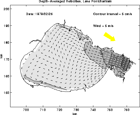
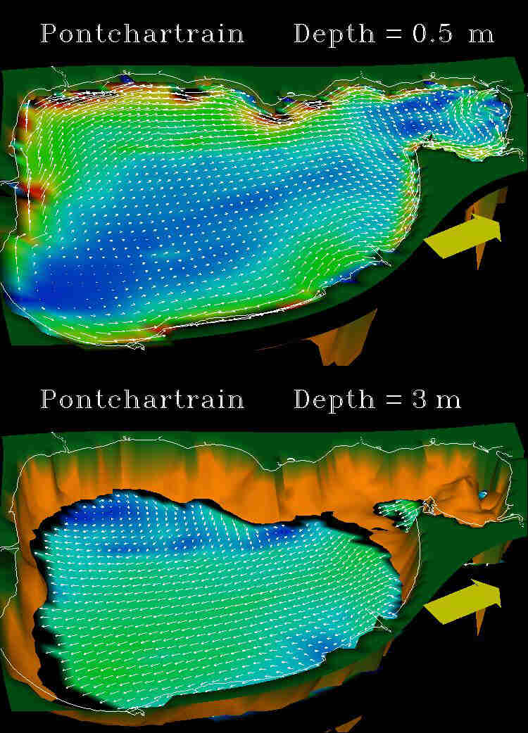
Figure 5: Example of efficient movement of water from the south and north shore toward Mississippi Sound during increasing westerly winds.
Users with Internet access may see the full report by clicking here.
Users without Internet access may write for more information to Richard P. Signell at:
384 Woods Hole Road
U.S. Geological Survey
Woods Hole, MA 02543-1598
 INDEX
INDEX  RECENT RESEARCH
  HOME
HOME
[an error occurred while processing this directive]