Digital Mapping Techniques '97
U.S. Geological Survey Open-File Report 97-269
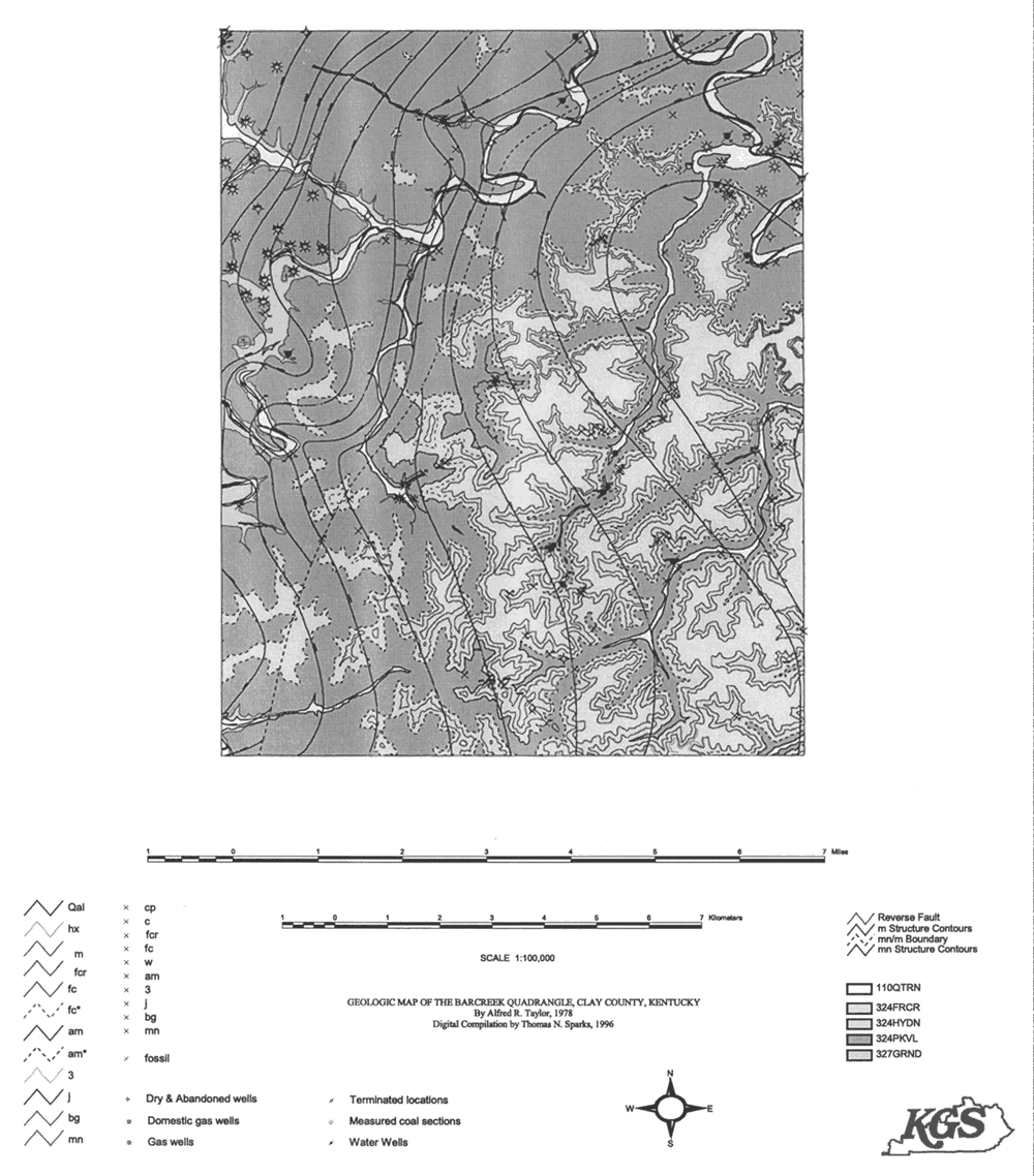
Figure 1. Draft geologic map of the Barcreek Quadrangle, Clay County, Kentucky.
<https://pubs.usgs.gov/openfile/of97-269/anderson1.html>
Maintained by Dave Soller
Last updated 10.06.97