Digital Mapping Techniques '97
U.S. Geological Survey Open-File Report 97-269
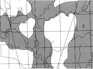
Figure 7.
Aquifer boundaries at 1:24,000 scale.
Home
|
Contents
|
Cowman
<https://pubs.usgs.gov/openfile/of97-269/cowman7.html>
Maintained by
Dave Soller
Last updated 10.07.97