Digital Mapping Techniques '97
U.S. Geological Survey Open-File Report 97-269
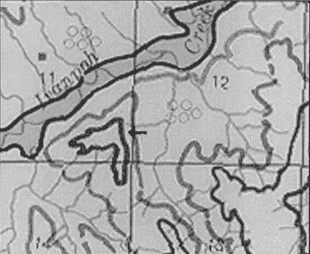
Figure 3A. Enlargement of isolated outcrop island from Figure 1.
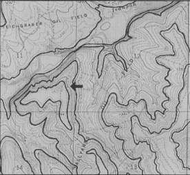
Figure 3B. Interpreted geology in the area of Figure 3A.
<https://pubs.usgs.gov/openfile/of97-269/ross3.html>
Maintained by Dave Soller
Last updated 10.07.97