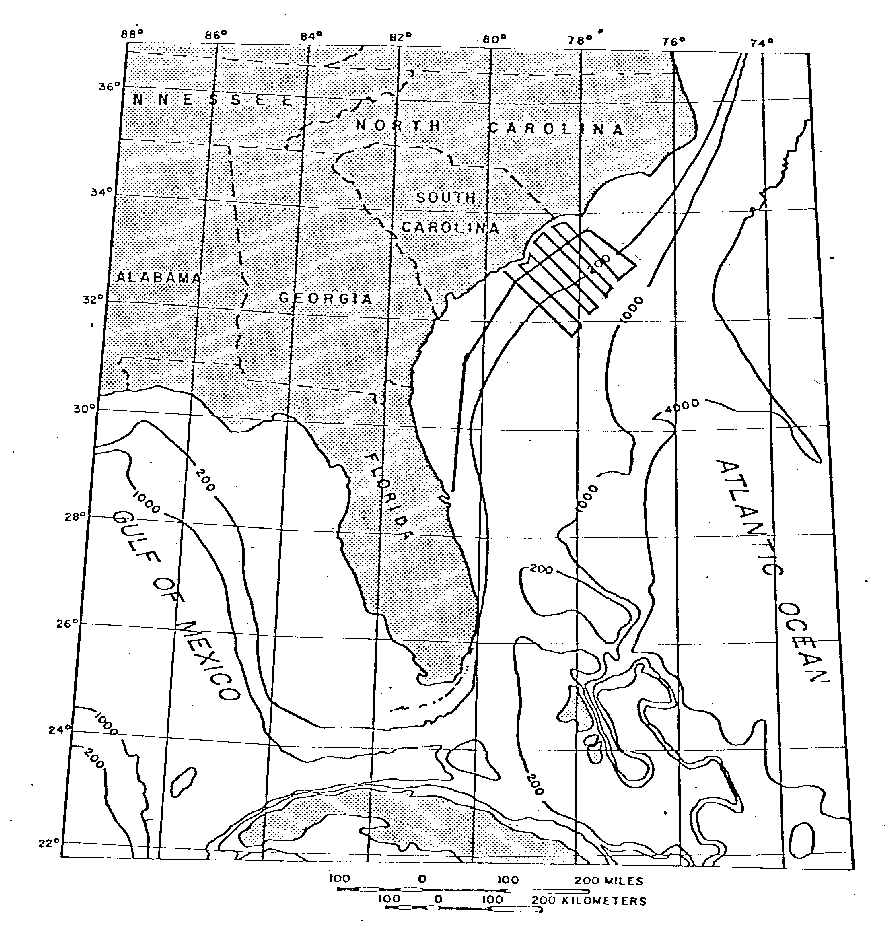
U.S. GEOLOGICAL SURVEY
Coastal and Marine Geology Program
Woods Hole, MA 02543

CRUISE REPORT _ _ CRUISE REPORT


  1. Ship Name/Owner Operator: R/V H.J.W. FAY/Tracor Marine
  2. Cruise Identifier: FAY 017
  3. Cruise Dates: 20 - 29 June 1976
  4. Cruise Objective: Geophysical reconnaissance of S.E. Georgia Embayment
  5. Chief Scientist: William Dillon, USGS
  6. Survey Area: shelf and inner Blake Plateau off Florida, Georgia, South Carolina and North Carolina
  7. Approximate Survey Area Limits:
  8. Data Acquired:
  9. Survey Track Map: click HERE for a detailed cruise map.
  10. Scientific Party: William Dillon, USGS
  11. Navigation Techniques: Western Geophysical integrated navigation system included:
  12. Scientific Equipment:
  13. Days at Sea: 10 (9 working days)
  14. Ship's Captain: Captain-James P. Olander
  15. Ship's Crew: unspecified
  16. Cruise Narrative: FAY sailed from Fort Lauderdale at noon on 20 June 1976, four days late. All systems began operation at 0800, 21 June and continued throughout the cruise until shut down at 0800, 29 June. During these nine operating days, very little time was lost in breakdowns and maintenance. One tie line was run along the shelf from Daytona Beach to Cape Fear then eight cross shelf lines were obtained between Cape Fear and Charleston spaced about 30 km apart.
  17. Attached Figures/Illustrations:
    1. Cruise track


Return to R/V FAY data home page

[an error occurred while processing this directive]