
![]()
U.S. DEPARTMENT OF THE INTERIOR
U.S. GEOLOGICAL SURVEY
Selected ARC/INFO coverages created for investigations
of the distribution and resources of coal in the Kaiparowits Plateau, southern
Utah: an accompaniment to Hettinger and others, 1996
version 1
by L.R.H. Biewick, R.D. Hettinger, and L.N.R. Roberts
The following is a list of coverages contained in each
ArcView project view, the theme name(s), and the source scale. The figure
numbers correspond to those in Hettinger and others (1996).
[thk = thickness; bndy = boundary; elevs = elevations]
| Coverage name |
Theme name | Source scale |  |
| m_adit roads kdak (arc) kdak (poly) county bb-surf |
Mine adits Roads Base Upper Cret. Kaiparowits Plateau County Land Status |
1:125,000 1:100,000 1:125,000 1:125,000 1:100,000 1:100,000 |
| Coverage name |
Theme name | Source scale |  |
| twnshp kjh_bkw kjh_kdt csb kdak |
Townships Tert. and Cret. undiv. Drip Tank Member Calico and A-sequences Base Upper Cret. |
1:24,000 1:125,000 1:125,000 1:125,000 1:125,000 |
| Coverage name |
Theme name | Source scale | 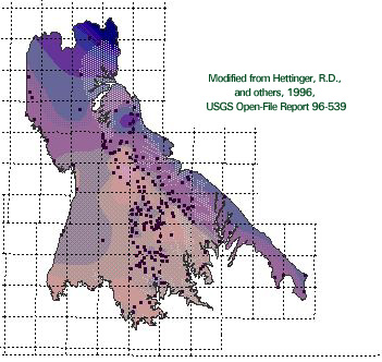 |
| csb kaipcoal cb_int twnshp kjh_thk |
Calico and A-sequences Data points Coal-bearing interval Townships Calico and A-sequences thk |
1:125,000 1:24,000 1:125,000 1:24,000 1:125,000 |
| Coverage name |
Theme name | Source scale | 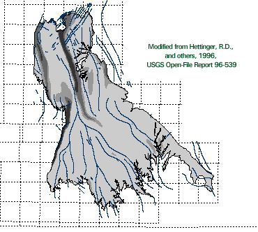 |
| csb structure dip twnshp |
Calico sequence bndy Structure Dip Townships |
1:125,000 1:125,000 1:125,000 1:24,000 |
| Coverage name |
Theme name | Source scale | 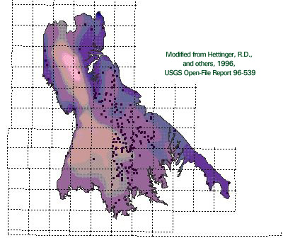 |
| csb kaipcoal twnshp csb_struct |
Calico and A-sequences Data point Townships Calico sequence bndy elevs |
1:125,000 1:24,000 1:24,000 1:125,000 |
| Coverage name |
Theme name | Source scale |  |
| csb kaipcoal twnshp allcoal |
Calico and A-sequences Data point Townships Total coal |
1:125,000 1:24,000 1:24,000 1:125,000 |
| Coverage name |
Theme name | Source scale | 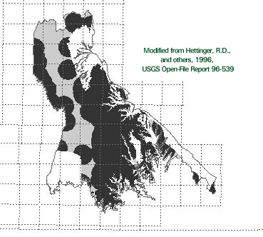 |
| csb twnshp allcoal |
Calico and A-sequences Townships Reliability |
1:125,000 1:24,000 1:125,000 |
| Coverage name |
Theme name | Source scale | 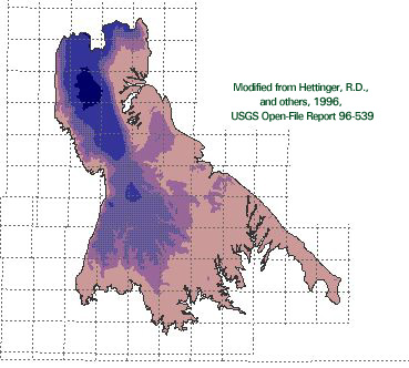 |
| csb twnshp allcoal |
Calico and A-sequences Townships Overburden |
1:125,000 1:24,000 1:125,000 |
| Coverage name |
Theme name | Source scale | 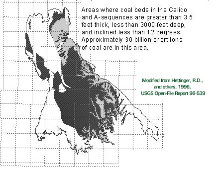 |
| twnshp csb fig22 cb_int |
Townships Calico and A-sequences Summary map Coal-bearing interval |
1:24,000 1:125,000 1:125,000 1:125,000 |
| Coverage name |
Theme name | Source scale | 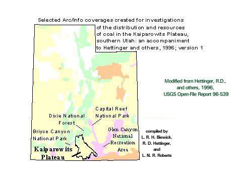 |
| kdak_dd ut_st_dd ut_fedl_dd |
Kaiparowits Plateau Utah State bndy Land Status (generalized) |
1:125,000 1:100,000 1:5,000,000 |
[Back - To Main Report] [Back - To Appendix 1] [Next - To Appendix 3]
U. S. Geological Survey Open-File Report 97-709