CARBON STORAGE AND LATE HOLOCENE CHRONOSTRATIGRAPHY OF A MISSISSIPPI RIVER DELTAIC MARSH, ST. BERNARD PARISH, LOUISIANA
US GEOLOGICAL SURVEY OPEN-FILE REPORT 98-36
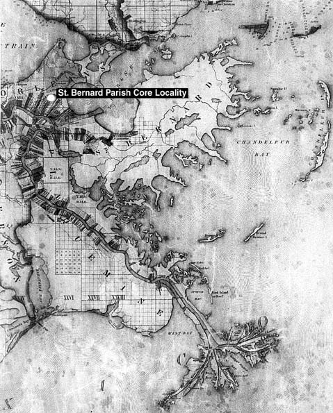
FIGURE 10A. Photograph of 1845 map showing the historical geography of the Mississippi River from just east of New Orleans to the bird's foot delta (La Tourrette, 1845). The St. Bernard core locality is indicated by the white circle.