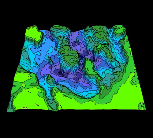


| View Direction | From the south |
| View Distance | 25 km from image center |
| Elevation of View Point | 35 degrees above map surface |
| Vertical Exaggeration | 10x |
| Contour Interval | 10 m |
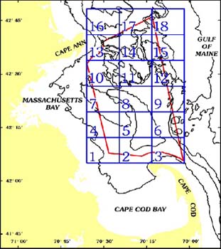
| Quadrangle Dimensions | East - West: 15.7 km (8.42 nm) |
| North - South: 13.4 km (7.15 nm) | |
| Southwest Corner | 42o 26.50' N, 70o 24.67' W |
| Northeast Corner | 42o 33.67' N, 70o 13.33' W |


Title: Valentine, P.C., Baker, J.L., Unger, T.S., and Roworth, E.T., 1997, Sea Floor Topography of Quadrangle 11 in the Stellwagen Bank National Marine Sanctuary off Boston, Massachusetts: U.S. Geological Survey Open-File Report 97-684, scale 1:25,000, 1 sheet.
Go to Location Map and Table of Contents or Readme.html for sources of paper copies of this map. [an error occurred while processing this directive]