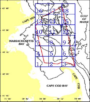
Quadrangle 5 - Stellwagen Bank National Marine Sanctuary
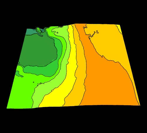
3-D Surface View of Sea Floor Topography
 
 
View Direction From the south
View Distance 25 km from image center
Elevation of View Point 35 degrees above map surface
Vertical Exaggeration 10x
Contour Interval 10 m
Quadrangle Dimensions East - West:    15.7  km (8.42  nm)
North - South:  13.4 km (7.15 nm)
Southwest Corner 42o 12.17' N,  70o 24.67' W 
Northeast Corner 42o 19.33' N,  70o 13.33' W

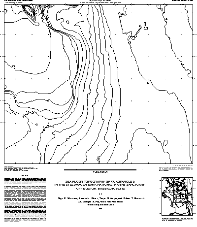
Sea Floor Topographic Map
This is an example of the topographic map available for Quadrangle 5.
Original scale is 1:25,000.
 This map is available in the following formats:
Encapsulated PostScript (.eps) (double click to download)*
PostScript (.ps) (double click to download)*
Arc Export Format (.e00) (push shift + left mouse to download)
Portable Document File (.pdf) (double click to download)**

*Page size for printing at full scale:  26 in (66 cm) by 29.5 in (74.9 cm).

**You must have Adobe Acrobat Reader to view this file in pdf format.
If you don't have the reader, click here first to download, then browse the file.

Title:  Valentine, P.C., Baker, J.L., Unger, T.S., and Roworth, E.T., 1997, Sea Floor Topography of Quadrangle 5 in the Stellwagen Bank National Marine Sanctuary off Boston, Massachusetts: U.S. Geological Survey Open-File Report 97-506, scale 1:25,000, 1 sheet.

Go to Location Map and Table of Contents or Readme.html for sources of paper copies of this map. [an error occurred while processing this directive]