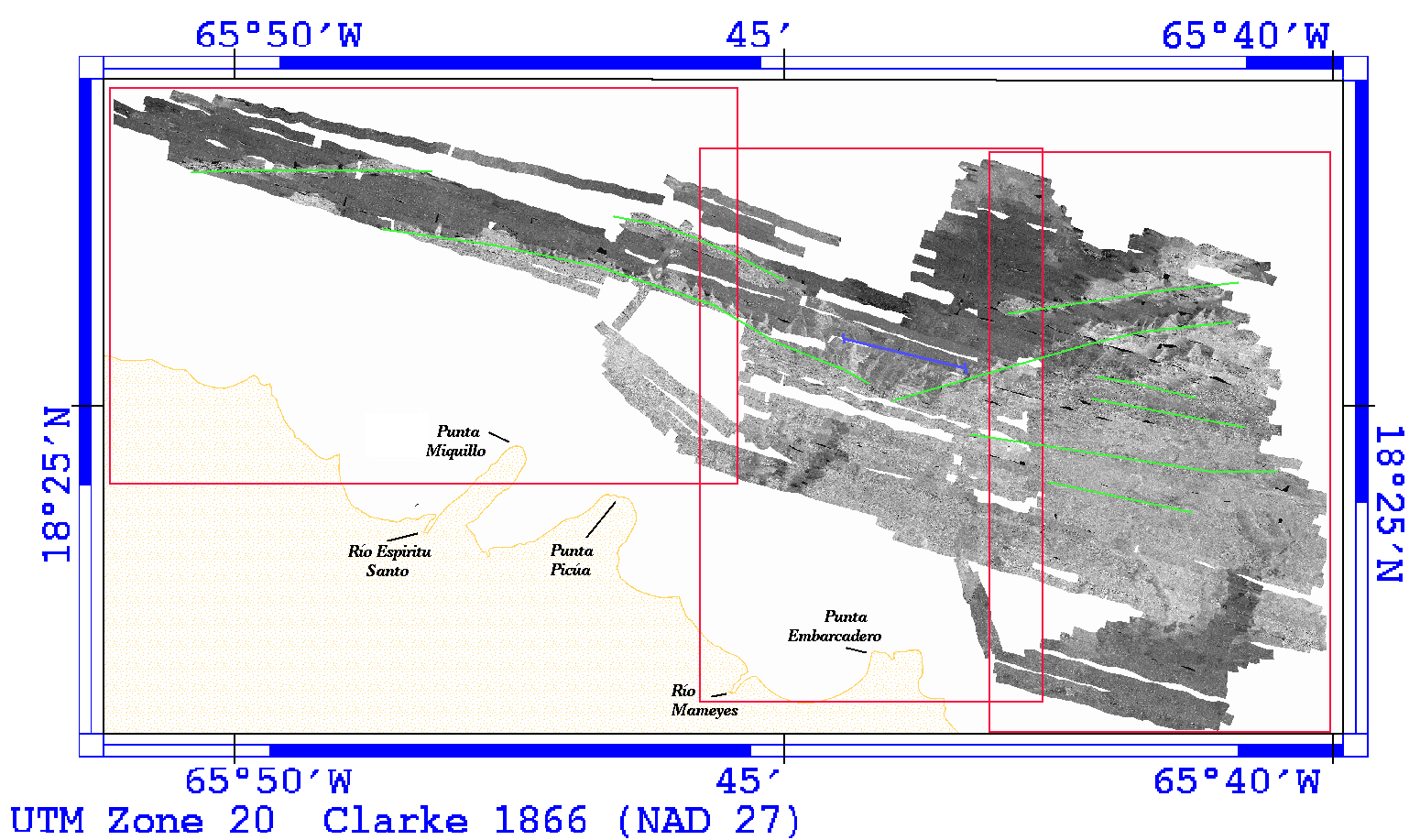
Figure 9. - Sidescan sonar imagery of the study area. Clicking within one of the three red boxes shown will give a higher resolution image of that section of the sidescan sonar mosaic. The green lines represent the trends of the eolianite ridges, with the blue line marking the location of a representative seismic-reflection profile (fig. 10).
[an error occurred while processing this directive]