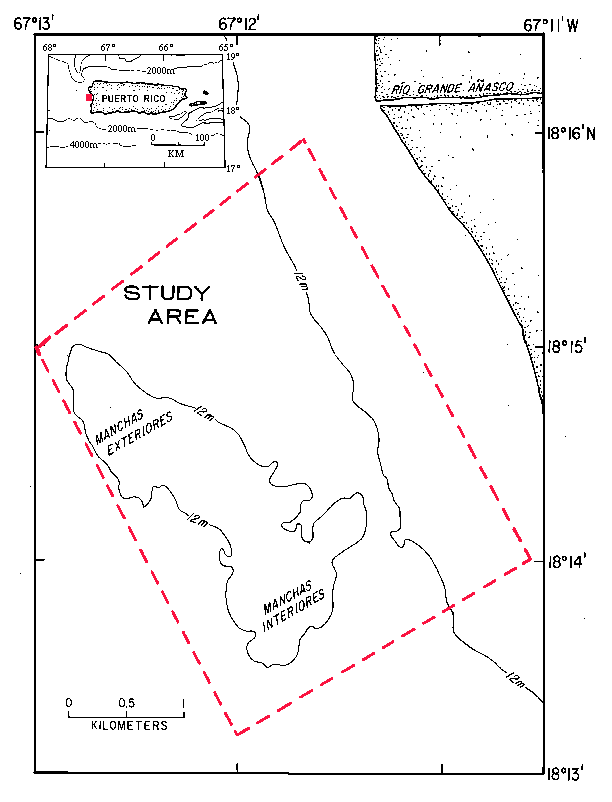
Figure 1 - Map of the study area, showing the location of the Manchas Exteriores and Manchas Interiores, and the Río Grande de Añasco on the west coast of Puerto Rico.
Return to document.