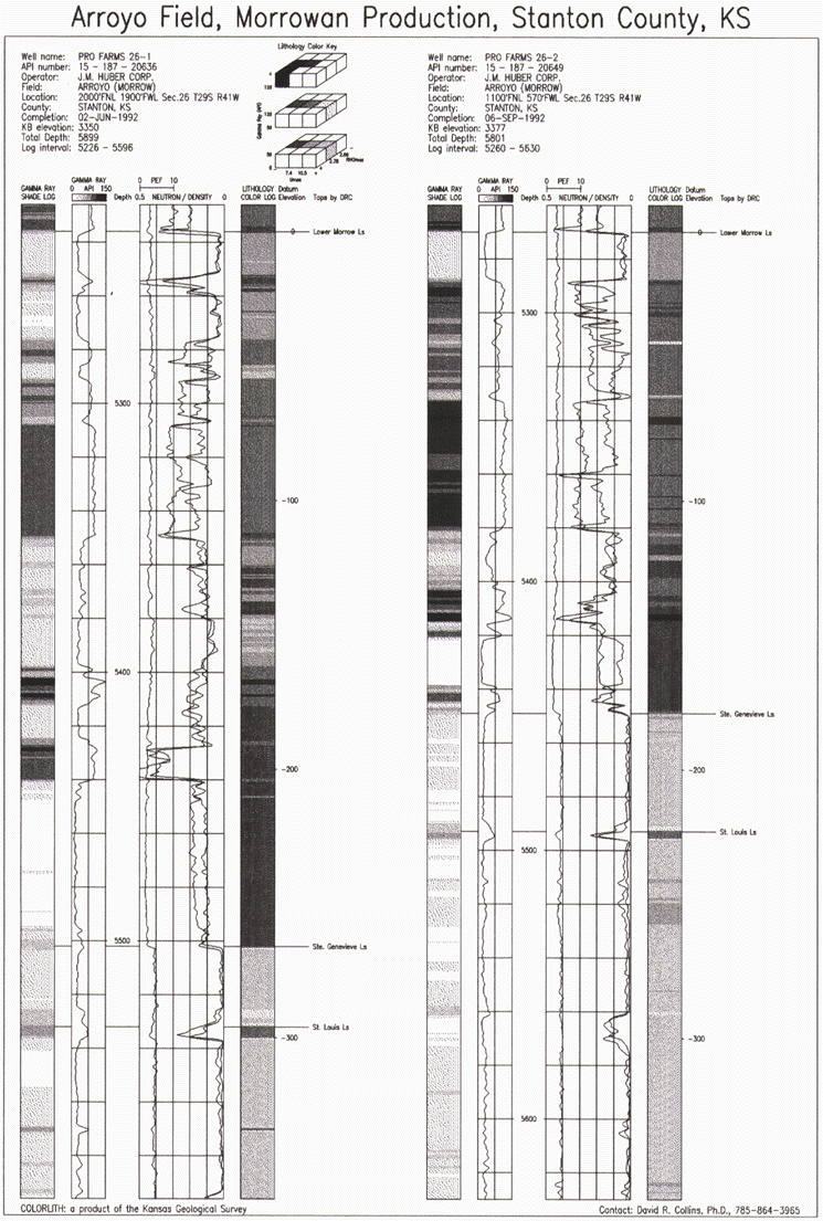
Figure 3. Visualization of subsurface variations in lithology through imaging of gamma ray and lithodensity logs (shown in gray scale for publication) from two wells in the Arroyo Field (Morrowan production, Stanton County, KS). Depths are in feet. |
RETURN TO Visualization of Subsurface Geology from Wireline Logs
U.S.Department of the Interior, U.S. Geological Survey
<https://pubs.usgs.gov/openfile/of98-487/collins2.html>
Maintained by Dave Soller
Last updated 10.06.98