Multibeam Bathymetric and Backscatter Maps of the Upper Hudson Shelf Valley and Adjacent Shelf, Offshore of New York
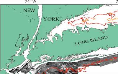
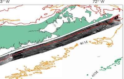
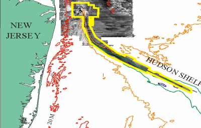
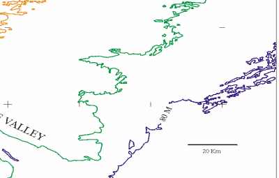
Figure 1. Map showing location of multibeam survey (yellow outline). The multibeam survey is nested within a sidescan sonar and high-resolution geophysical survey of a larger area (see Schwab and others, 1997a, 1997b) carried out as part of a USGS program to map the surficial geology and shallow subsurface structure offshore of major metropolitan centers. Light tones are high backscatter material (outcropping rock, boulders, gravel and coarse sand), low backscatter material (fine sand, silts and clay) is dark tones. Contours in meters.
 |
 |
 |
 |