Multibeam Bathymetric and Backscatter Maps of the Upper Hudson Shelf Valley and Adjacent Shelf, Offshore of New York
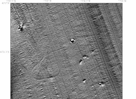
Figure 9. Shaded-relief bathymetric map of a region centered at 40° 16' N, the region for disposal of unsalvageable vessels from the port of New York-New Jersey. The circular pattern in the left center portion of the image is an artifact of data collected while the ship was turning.
 |
 |