Tools of the Trade:
 The Oceanographic Tripod
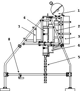
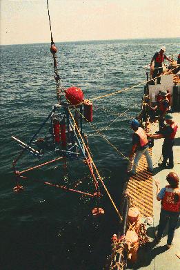
 Measurements of marine parameters are often made with instrumentation that is attached to a fixed platform. We generally call these platforms 'tripods' because this classic three legged design is the most stable and popular.
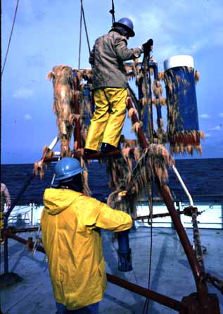
 A bottom tripod serves as a framework on which to fix instrumentation in exact positions in the water column, as a protective frame against natural and human intervention. It is often the case that oceanographic studies are performed in heavily fished areas. The tripod frame is designed to sit on the ocean bottom and tolerate large storm generated currents and hits from nets and other gear.


