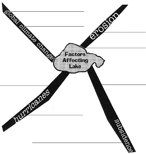
Spider maps are used to graphically link a central topic or concept with its major points. Details about each point are added to complete the links.
Some of the major factors affecting the Lake Pontchartrain Basin are hurricanes, global climate change, subsidence, and erosion. After completing the activities in this section, you should be able to complete the spider map below: