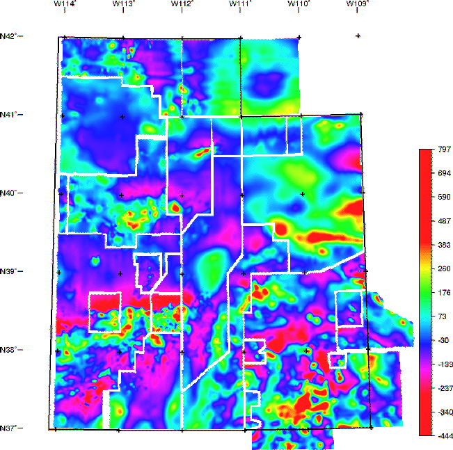


The aeromagnetic data are presented as four different grids that cover the entire state and two additional grids covering parts of the state. These maps are constructed from grids that combine information (see data processing details) collected in 20 separate aeromagnetic surveys conducted between 1952 and 1979. An index plot gives an overview of the flightline spacing of the original surveys. A data table summarizes the detailed specifications of the surveys.
This map displays a composite grid of data sets having the same grid interval and projection, and having the Definitive International Reference Field (DGRF) removed, but having the original survey elevation retained. Areas of no data surround each separate survey. [filename = utcomp98]
| AccessibilityFOIAPrivacyPolicies and Notices | |
| |
|