Quadrangle 13 - Stellwagen Bank National Marine Sanctuary
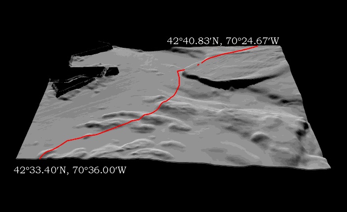
3-D Surface View of Sun-Illuminated Sea Floor Topography

Quadrangle 13 - Stellwagen Bank
National Marine Sanctuary
3-D Surface View of
Sun-Illuminated Sea Floor Topography
| View Direction | From the south |
| View Distance | 25 km from image center |
| Elevation of View Point | 35 degrees above map surface |
| Vertical Exaggeration | 10x |
| Sun Elevation Angle | 45o |
| Sun Azimuth | 350o |
| Quadrangle Dimensions | East- West: 15.7 km (8.42 nm) |
| North- South: 13.4 km (7.15 nm) |
Sanctuary boundary shown in red.

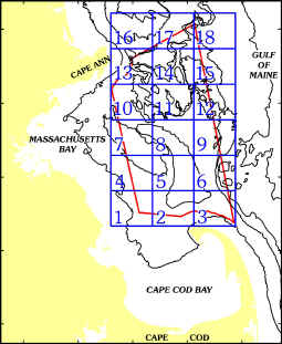
To view a quadrangle, click on map
Return to
Location Map
Return
to Discussion
Return
to Front Page
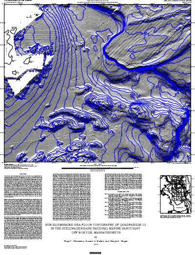
Sun-Illuminated
Sea Floor Topographic Map
This is an example of the
sun-illuminated topographic map available for Quadrangle 13.
Original scale is 1:25,000.

This map is
available in the following formats:
Encapsulated
Postscript (.eps) (double click to download)*
Postscript
(.ps) (double click to download)*
Arc
Export Format (.e00) (right click to download)
The 3-D surface view of the
sun-illuminated image is available as a
TIFF
Bitmap (.tif) (double click to download)
The sun-illuminated map image may
be incorporated into a GIS database by downloading the
ArcView
World File (.tfw) (double click to download)
To view and/or
print this image, use:
Portable
Document File (.pdf) (right click to download)**
To access metadata:
Quadrangle
13 metadata
*Maximum page size: 26 in (66
cm) by 36 in (91.4 cm). When the .eps files are opened
in a graphics package (files were made with CorelDraw version
7.375), in some cases the
sun-illuminated image increases in size and needs to be re-sized
to fit the neatline.
**You must have Adobe Acrobat Reader to view this file in pdf
format.
If you don't have the reader,click
here first to download,
then browse the file.
Or, a quicker way, to view the pdf file: open Adobe Acrobat
Reader from your desktop;
navigate to the pdf folder on the CD-ROM; find the map image you
want and open it.
Title: Valentine, P.C., Baker, J.L., and Unger, T.S., 1999, Sun-Illuminated Sea Floor Topography of Quadrangle 13 in the Stellwagen Bank National Marine Sanctuary off Boston, Massachusetts: U.S. Geological Survey Geologic Investigations Series Map I-2713, scale 1:25,000.
[an error occurred while processing this directive]